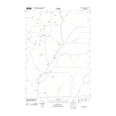
2010 Map of Bear Valley
USGS Topo · Published 2010About this map
Bear Valley and Keyesville anchor this landscape in Richland County, characterized by a deep-rooted agricultural economy. The 2010 geography reveals a dense network of family-operated lands such as Wiedenfelds Homestead, Greenhecks Homestead, and numerous specialized dairies including the Springdale Dairy Farm and Bear Valley Dairy Farm. This pattern of land use reflects the region's enduring commitment to small-scale dairy and livestock production.
Find a feature on this map
67 named features on this map. Tap any name to fly to it.
Don’t see what you’re looking for? This feature index may not catch every label — zoom into the map to look around manually.
Map Details
Editions of this 2010 Bear Valley Map
This is the sole edition of this map. No revisions or reprints were ever made.
Other maps of this area

1905 · Richland Center
USGS Topo · 1:125,000

1958 · La Crosse
USGS Topo · 1:250,000

1960 · Richland Center
USGS Topo · 1:62,500

1960 · Plain
USGS Topo · 1:62,500

1960 · Muscoda
USGS Topo · 1:62,500

1960 · Spring Green
USGS Topo · 1:62,500

1961 · La Crosse
USGS Topo · 1:250,000

1965 · La Crosse
USGS Topo · 1:250,000

1976 · La Crosse
USGS Topo · 1:250,000
1983 · Lime Ridge
USGS Topo · 1:24,000