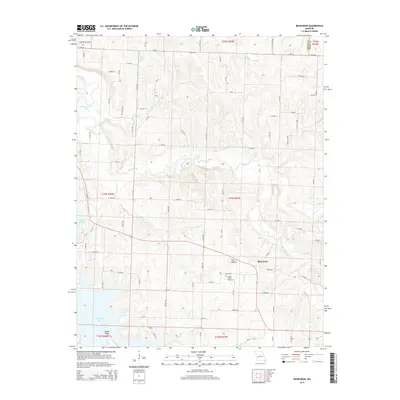
2015 Map of Bearcreek
USGS Topo · Published 2015About this map
Bearcreek serves as a central hub for this rural landscape in Southwest Missouri, where the terrain is defined by the winding course of Bear Creek and the expansive waters of Stockton Lake to the west. The area is characterized by its agricultural heritage and natural landmarks, most notably The Mound and the southern elevation of Indian Ridge. To the northwest, the Sac River feeds into several local water bodies, including Montgomery Lake and Truitt Lake.
Find a feature on this map
82 named features on this map. Tap any name to fly to it.
Don’t see what you’re looking for? This feature index may not catch every label — zoom into the map to look around manually.
Map Details
Editions of this 2015 Bearcreek Map
This is the sole edition of this map. No revisions or reprints were ever made.
Other maps of this area

1886 · Stockton
USGS Topo · 1:125,000

1939 · Caplinger Mills
USGS Topo · 1:24,000

1939 · Arnica
USGS Topo · 1:24,000

1941 · Caplinger Mills
USGS Topo · 1:24,000

1941 · Arnica
USGS Topo · 1:24,000

1944 · Humansville
USGS Topo · 1:24,000

1954 · Springfield
USGS Topo · 1:250,000
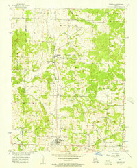
1956 · Fair Play
USGS Topo · 1:24,000
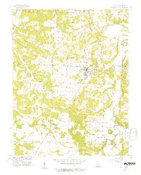
1956 · Stockton
USGS Topo · 1:24,000
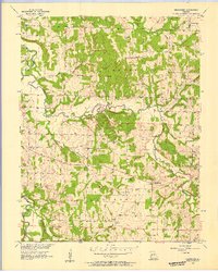
1956 · Bearcreek
USGS Topo · 1:24,000