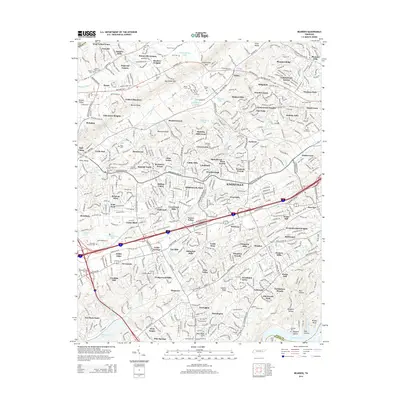
2014 Map of Bearden
USGS Topo · Published 2014About this map
Beaver Ridge and Blackoak Ridge dominate the landscape of West Knoxville, framing a densely developed suburban corridor shaped by major thoroughfares like Middlebrook Pike NW and Kingston Pike. This 2014 survey documents the extensive residential growth of the era, from established neighborhoods like Cumberland Estates and West Forest to newer subdivisions extending toward Beaver Valley. The geography is deeply tied to the drainage patterns of Ten Mile Creek and Beaver Creek, where numerous small springs such as Oehler Springs and Roberts Spring once served early settlers.
Find a feature on this map
131 named features on this map. Tap any name to fly to it.
Don’t see what you’re looking for? This feature index may not catch every label — zoom into the map to look around manually.
Map Details
Editions of this 2014 Bearden Map
This is the sole edition of this map. No revisions or reprints were ever made.
Other maps of this area

1886 · Knoxville
USGS Topo · 1:125,000

1892 · Knoxville
USGS Topo · 1:125,000

1893 · Briceville
USGS Topo · 1:125,000

1894 · Knoxville
USGS Topo · 1:125,000

1895 · Loudon
USGS Topo · 1:125,000

1895 · Briceville
USGS Topo · 1:125,000

1895 · Knoxville
USGS Topo · 1:125,000

1896 · Briceville
USGS Topo · 1:125,000

1897 · Maynardville
USGS Topo · 1:125,000

1900 · Maynardville
USGS Topo · 1:125,000