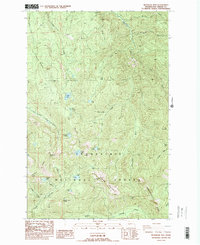
1986 Map of Bearhead Mtn
USGS Topo · Published 1986About this map
Bearhead Mountain dominates this portion of the Snoqualmie National Forest, where a network of glacial lakes and steep ridges defines the high-altitude landscape of Pierce County. The terrain is marked by distinctive geological formations such as Rooster Comb, The Three Sisters, and Pitcher Mountain. A variety of water bodies including Summit Lake, Coplay Lake, and Cedar Lake are scattered across the drainage basins of the Clearwater River and Carbon River.
Find a feature on this map
45 named features on this map. Tap any name to fly to it.
Don’t see what you’re looking for? This feature index may not catch every label — zoom into the map to look around manually.
Map Details
Editions of this 1986 Bearhead Mtn Map
2 editions found

Other maps of this area

1913 · Cedar Lake
USGS Topo · 1:125,000

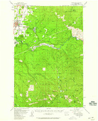
1924 · Mt Rainier
USGS Topo · 1:96,000

1928 · Mt Rainier
USGS Topo · 1:125,000

1950 · Yakima
USGS Topo · 1:250,000
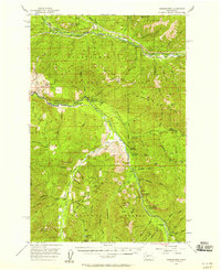
1956 · Greenwater
USGS Topo · 1:62,500
1956 · Enumclaw
USGS Topo · 1:62,500
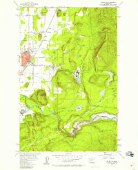
1956 · Enumclaw
USGS Topo · 1:24,000

1957 · Wenatchee
USGS Topo · 1:250,000

1958 · Yakima
USGS Topo · 1:250,000

1961 · Yakima
USGS Topo · 1:250,000