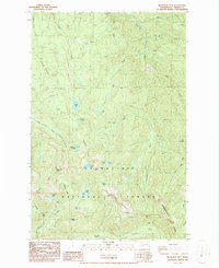
1986 Map of Bearhead Mtn
USGS Topo · Published 1986About this map
Bearhead Mountain and its surrounding peaks dominate this mid-1980s landscape within the Snoqualmie National Forest. The map documents a transition from industrial resource extraction to backcountry recreation, evidenced by the presence of a Quarry and Borrow Pit alongside the Clipper Mine Tunnel near Cayada Mountain. Water defines the region, with high-elevation basins such as Cedar Lake, Summit Lake, and Coundly Lake feeding a network of drainages including the Clearwater River and East Fork South Prairie Creek.
Find a feature on this map
41 named features on this map. Tap any name to fly to it.
Don’t see what you’re looking for? This feature index may not catch every label — zoom into the map to look around manually.
Map Details
Editions of this 1986 Bearhead Mtn Map
2 editions found
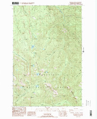
Other maps of this area

1913 · Cedar Lake
USGS Topo · 1:125,000

1924 · Mt Rainier
USGS Topo · 1:96,000

1928 · Mt Rainier
USGS Topo · 1:125,000

1950 · Yakima
USGS Topo · 1:250,000

1956 · Greenwater
USGS Topo · 1:62,500

1956 · Enumclaw
USGS Topo · 1:62,500
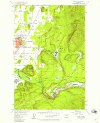
1956 · Enumclaw
USGS Topo · 1:24,000

1957 · Wenatchee
USGS Topo · 1:250,000

1958 · Yakima
USGS Topo · 1:250,000

1961 · Yakima
USGS Topo · 1:250,000