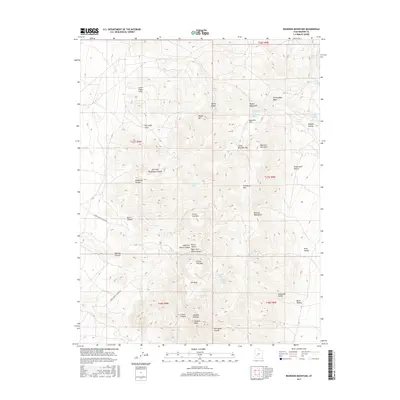
2017 Map of Bearskin Mountain
USGS Topo · Published 2017About this map
Milford Needle and Granite Peak anchor the southern reaches of the Mineral Mountains, a landscape defined by sharp vertical relief and a network of named springs. The terrain is deeply incised by drainages such as Cunningham Wash and Negro Mag Wash, which flow toward the lower elevations of Bearskin Flat. This 2017 survey reveals a system of resource-focused access, notably Lower Ranch Canyon RD and Upper Ranch Canyon RD, which skirt the edges of significant topographical features like N Twin Flat Mtn and S Twin Flat Mtn.
Find a feature on this map
51 named features on this map. Tap any name to fly to it.
Don’t see what you’re looking for? This feature index may not catch every label — zoom into the map to look around manually.
Map Details
Editions of this 2017 Bearskin Mountain Map
This is the sole edition of this map. No revisions or reprints were ever made.
Other maps of this area

1885 · Beaver
USGS Topo · 1:250,000

1953 · Cave Canyon
USGS Topo · 1:24,000

1953 · Richfield
USGS Topo · 1:250,000

1958 · Richfield
USGS Topo · 1:250,000

1958 · Beaver
USGS Topo · 1:62,500

1958 · Adamsville
USGS Topo · 1:62,500

1958 · Ranch Canyon
USGS Topo · 1:24,000

1962 · Cove Fort
USGS Topo · 1:62,500

1973 · Pinnacle Pass
USGS Topo · 1:24,000

1973 · Read
USGS Topo · 1:24,000