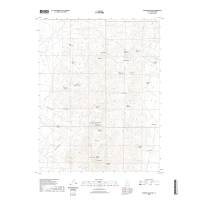
2020 Map of Bearskin Mountain
USGS Topo · Published 2020About this map
The Mineral Mountains dominate this high-altitude landscape of Beaver County, culminating in the sharp prominent peak of Milford Needle and the nearby Granite Peak. This 2020 survey reveals a complex network of vertical terrain and narrow drainage washes, such as Negro Mag Wash and Cunningham Wash. The geography is defined by its water sources, with numerous springs like Jackrabbit Spring and Old Indian Spring supporting the high desert environment. The presence of The Park, a relatively level high basin, provides a notable contrast to the steep surrounding peaks of Bearskin Mtn and Wildhorse Mtn. Access to these remote reaches is indicated by the Lower Ranch Canyon Rd and Upper Ranch Canyon Rd, which thread through deep incisions like Kirk Canyon and Wycroft Canyon.
Find a feature on this map
45 named features on this map. Tap any name to fly to it.
Don’t see what you’re looking for? This feature index may not catch every label — zoom into the map to look around manually.
Map Details
Editions of this 2020 Bearskin Mountain Map
This is the sole edition of this map. No revisions or reprints were ever made.
Other maps of this area

1885 · Beaver
USGS Topo · 1:250,000

1953 · Cave Canyon
USGS Topo · 1:24,000

1953 · Richfield
USGS Topo · 1:250,000

1958 · Richfield
USGS Topo · 1:250,000

1958 · Beaver
USGS Topo · 1:62,500

1958 · Adamsville
USGS Topo · 1:62,500

1958 · Ranch Canyon
USGS Topo · 1:24,000

1962 · Cove Fort
USGS Topo · 1:62,500

1973 · Pinnacle Pass
USGS Topo · 1:24,000

1973 · Read
USGS Topo · 1:24,000