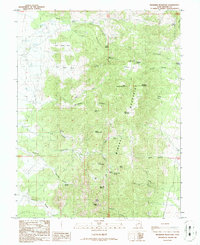
1986 Map of Bearskin Mountain
USGS Topo · Published 1986About this map
The Mineral Mountains define this high-elevation landscape in eastern Beaver County, Utah, where peaks like Milford Needle and Granite Peak overlook a complex network of canyons and washes. This mid-1980s data reveals a terrain dominated by hydrologic and geologic features, notably the proliferation of named water sources such as Old Indian Spring, Jackrabbit Spring, and Granite Rock Spring. The presence of a Mine Shaft and several Geothermal Wells suggests the area's ongoing importance for resource extraction and energy potential.
Find a feature on this map
49 named features on this map. Tap any name to fly to it.
Don’t see what you’re looking for? This feature index may not catch every label — zoom into the map to look around manually.
Map Details
Editions of this 1986 Bearskin Mountain Map
This is the sole edition of this map. No revisions or reprints were ever made.
Other maps of this area

1885 · Beaver
USGS Topo · 1:250,000

1953 · Cave Canyon
USGS Topo · 1:24,000

1953 · Richfield
USGS Topo · 1:250,000

1958 · Richfield
USGS Topo · 1:250,000

1958 · Beaver
USGS Topo · 1:62,500

1958 · Adamsville
USGS Topo · 1:62,500

1958 · Ranch Canyon
USGS Topo · 1:24,000

1962 · Cove Fort
USGS Topo · 1:62,500

1973 · Pinnacle Pass
USGS Topo · 1:24,000

1973 · Read
USGS Topo · 1:24,000