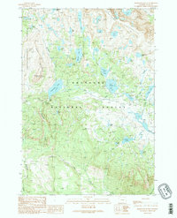
1989 Map of Beartooth Butte
USGS Topo · Published 1989About this map
The Beartooth Plateau dominates this high-altitude landscape within the Shoshone National Forest and the Absaroka-Beartooth Wilderness. The map reveals a complex network of glacial lakes and alpine waterways, centered around the prominent Beartooth Butte and Bird Mountain. This 1989 provisional survey emphasizes the recreational character of the region, documenting the Beartooth Highline Trail as it traverses the divide, alongside established facilities like the Boat Ramp and Campground near Beartooth Lake. The drainage patterns are clearly defined, with Bear Creek and Canyon Creek carving through the terrain, connecting remote waters such as Island Lake, Night Lake, and the Chain Lakes. This document provides a look at the backcountry infrastructure and natural landmarks of Park County before the turn of the millennium.
Find a feature on this map
42 named features on this map. Tap any name to fly to it.
Don’t see what you’re looking for? This feature index may not catch every label — zoom into the map to look around manually.
Map Details
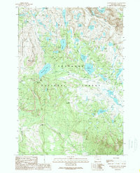
Editions of this 1989 Beartooth Butte Map
2 editions found
Other maps of this area

1896 · Crandall Creek
USGS Topo · 1:125,000

1898 · Granite Mountain District
USGS Topo · 1:125,000

1899 · Crandall
USGS Topo · 1:125,000

1950 · Deep Lake
USGS Topo · 1:62,500

1954 · Billings
USGS Topo · 1:250,000

1955 · Cody
USGS Topo · 1:250,000

1956 · Alpine
USGS Topo · 1:62,500

1956 · Mount Maurice
USGS Topo · 1:62,500

1956 · Beartooth Butte
USGS Topo · 1:62,500

1957 · Billings
USGS Topo · 1:250,000