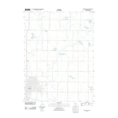
2011 Map of Beatrice East
USGS Topo · Published 2011About this map
The city of Beatrice anchors the southwestern portion of this landscape, situated along the banks of the Big Blue River. This Gage County region is defined by a dense network of tributaries and managed water resources, where numerous reservoirs such as Barnard Reservoir and Bear Creek Reservoir 6-B are controlled by a series of dams including the Pierce Creek Dam 3-A. The map highlights the intersection of urban development and rural water management, showing the residential grid near the Beatrice Post Office transitioning into agricultural land drained by Indian Creek and Town Creek. Genealogists and local historians can locate established resting places including the Saint Joseph Cemetery on the western edge and Elysian View Cemetery to the north, providing clear spatial context for 21st-century researchers.
Find a feature on this map
51 named features on this map. Tap any name to fly to it.
Don’t see what you’re looking for? This feature index may not catch every label — zoom into the map to look around manually.
Map Details
Editions of this 2011 Beatrice East Map
This is the sole edition of this map. No revisions or reprints were ever made.
Other maps of this area

1955 · Lincoln
USGS Topo · 1:250,000

1957 · Lincoln
USGS Topo · 1:250,000

1957 · Clatonia
USGS Topo · 1:24,000

1957 · Beatrice West
USGS Topo · 1:24,000

1957 · Beatrice East
USGS Topo · 1:24,000

1958 · Lincoln
USGS Topo · 1:250,000

1964 · Pickrell
USGS Topo · 1:24,000

1964 · Blue Springs
USGS Topo · 1:24,000

1965 · Adams
USGS Topo · 1:24,000

1970 · Diller NE
USGS Topo · 1:24,000