
1964 Map of Blue Springs
USGS Topo · Published 1965About this map
The Big Blue River meanders through Gage County, anchoring a mid-1960s landscape defined by its river-bend settlements and competing railroad lines. At the southern bend, the adjacent communities of Blue Springs and Wymore represent a significant concentration of rail activity, served by both the Union Pacific and the Chicago Burlington and Quincy lines. The industrial character of the river valley is evident through numerous quarries, a Gravel Pit, and various sandpits dotting the banks near Holmesville.
Find a feature on this map
34 named features on this map. Tap any name to fly to it.
Don’t see what you’re looking for? This feature index may not catch every label — zoom into the map to look around manually.
Map Details
Editions of this 1964 Blue Springs Map
This is the sole edition of this map. No revisions or reprints were ever made.
Other maps of this area

1955 · Lincoln
USGS Topo · 1:250,000

1957 · Lincoln
USGS Topo · 1:250,000

1957 · Beatrice West
USGS Topo · 1:24,000

1957 · Beatrice East
USGS Topo · 1:24,000

1958 · Lincoln
USGS Topo · 1:250,000

1970 · Diller NE
USGS Topo · 1:24,000
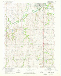
1970 · Wymore
USGS Topo · 1:24,000
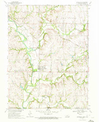
1970 · Barneston
USGS Topo · 1:24,000
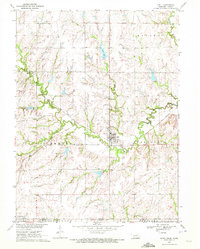
1970 · Odell
USGS Topo · 1:24,000
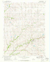
1970 · Filley
USGS Topo · 1:24,000