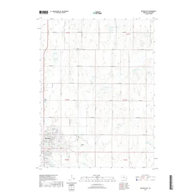
2017 Map of Beatrice East
USGS Topo · Published 2017About this map
The city of Beatrice anchors the southwestern corner of this survey, where a dense grid of streets like Jefferson St and Court St meets the banks of the Big Blue River. Beyond the municipal limits, the landscape transitions into a systematic network of section roads and agricultural land, punctuated by numerous water management features. A series of reservoirs, including Barnard Reservoir and several numbered sites along Bear Creek, illustrate the region's managed hydrology.
Find a feature on this map
65 named features on this map. Tap any name to fly to it.
Don’t see what you’re looking for? This feature index may not catch every label — zoom into the map to look around manually.
Map Details
Editions of this 2017 Beatrice East Map
This is the sole edition of this map. No revisions or reprints were ever made.
Other maps of this area

1955 · Lincoln
USGS Topo · 1:250,000

1957 · Lincoln
USGS Topo · 1:250,000

1957 · Clatonia
USGS Topo · 1:24,000

1957 · Beatrice West
USGS Topo · 1:24,000

1957 · Beatrice East
USGS Topo · 1:24,000

1958 · Lincoln
USGS Topo · 1:250,000

1964 · Pickrell
USGS Topo · 1:24,000

1964 · Blue Springs
USGS Topo · 1:24,000

1965 · Adams
USGS Topo · 1:24,000

1970 · Diller NE
USGS Topo · 1:24,000