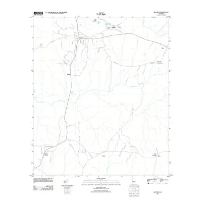
2011 Map of Beatrice
USGS Topo · Published 2011About this map
Beatrice serves as the central hub of this Monroe County landscape, where the local road network radiates toward several smaller rural settlements. To the south, Tunnel Springs and Pine Orchard anchor the territory, while Turnbull and Riley sit to the east. The map provides significant detail for genealogists, identifying numerous burial grounds such as Philadelphia Cemetery, Antioch Cemetery, and Savannah Cemetery.
Find a feature on this map
69 named features on this map. Tap any name to fly to it.
Don’t see what you’re looking for? This feature index may not catch every label — zoom into the map to look around manually.
Map Details
Editions of this 2011 Beatrice Map
This is the sole edition of this map. No revisions or reprints were ever made.
Other maps of this area

1953 · Andalusia
USGS Topo · 1:250,000

1957 · Andalusia
USGS Topo · 1:250,000

1967 · Beatrice
USGS Topo · 1:24,000

1971 · Skinnerton
USGS Topo · 1:24,000

1971 · China
USGS Topo · 1:24,000

1971 · Burnt Corn
USGS Topo · 1:24,000

1971 · Beatrice
USGS Topo · 1:24,000

1972 · Monroeville
USGS Topo · 1:24,000

1972 · Natchez
USGS Topo · 1:24,000

1973 · Vredenburgh
USGS Topo · 1:24,000