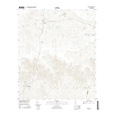
2014 Map of Beatrice
USGS Topo · Published 2014About this map
The town of Beatrice serves as the central hub of this Monroe County landscape, where the local road network converges around Main St and Cotton Gin Rd. The map illustrates a rural settlement pattern defined by small communities such as Tunnel Springs, Pine Orchard, and Turnbull, often anchored by family or community cemeteries like Philadelphia Cem and Savannah Cem. The topography is etched by numerous watercourses, including the winding Robinson Cr and Turnbull Br, which drain the varied elevation towards the Monroe and Conecuh County line.
Find a feature on this map
64 named features on this map. Tap any name to fly to it.
Don’t see what you’re looking for? This feature index may not catch every label — zoom into the map to look around manually.
Map Details
Editions of this 2014 Beatrice Map
This is the sole edition of this map. No revisions or reprints were ever made.
Other maps of this area

1953 · Andalusia
USGS Topo · 1:250,000

1957 · Andalusia
USGS Topo · 1:250,000

1967 · Beatrice
USGS Topo · 1:24,000

1971 · Skinnerton
USGS Topo · 1:24,000

1971 · China
USGS Topo · 1:24,000

1971 · Burnt Corn
USGS Topo · 1:24,000

1971 · Beatrice
USGS Topo · 1:24,000

1972 · Monroeville
USGS Topo · 1:24,000

1972 · Natchez
USGS Topo · 1:24,000

1973 · Vredenburgh
USGS Topo · 1:24,000