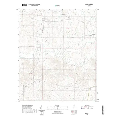
2020 Map of Beatrice
USGS Topo · Published 2020About this map
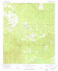
Beatrice serves as a central hub in this section of Monroe County, where the intersection of Main St and several regional roads anchors the local landscape. The surrounding area is defined by a series of small, dispersed communities including Pineville, Turnbull, and Tunnel Springs, each connected by a network of named country routes like Spanish TRL and Antioch RD. This layout reflects a long-standing rural settlement pattern typical of the Alabama interior, where town life and agricultural homesteads are closely tied to the winding drainage basins of Robinson Cr and Flat Cr.
Find a feature on this map
67 named features on this map. Tap any name to fly to it.
Don’t see what you’re looking for? This feature index may not catch every label — zoom into the map to look around manually.
Map Details
Editions of this 2020 Beatrice Map
This is the sole edition of this map. No revisions or reprints were ever made.
Other maps of this area

1953 · Andalusia
USGS Topo · 1:250,000

1957 · Andalusia
USGS Topo · 1:250,000
1967 · Beatrice
USGS Topo · 1:24,000
1971 · Skinnerton
USGS Topo · 1:24,000
1971 · China
USGS Topo · 1:24,000
1971 · Burnt Corn
USGS Topo · 1:24,000
1971 · Beatrice
USGS Topo · 1:24,000
1972 · Monroeville
USGS Topo · 1:24,000
1972 · Natchez
USGS Topo · 1:24,000
1973 · Vredenburgh
USGS Topo · 1:24,000