
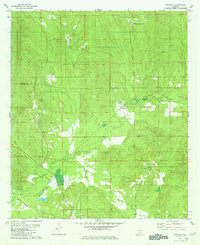
1967 Map of Beatrice
USGS Topo · Published 1984About this map
The Buttahatchee River winds through this Lamar County landscape, defining the topography south of Beaverton and east of Sulligent. During the late 1960s, this area maintained a deeply rural character, anchored by small settlements and numerous family-named burial grounds and churches. The St Louis - San Francisco railroad provides the primary industrial spine, running through Crews and connecting the local economy to larger regional hubs.
Find a feature on this map
48 named features on this map. Tap any name to fly to it.
Don’t see what you’re looking for? This feature index may not catch every label — zoom into the map to look around manually.
Map Details
Editions of this 1967 Beatrice Map
This is the sole edition of this map. No revisions or reprints were ever made.
Other maps of this area

1953 · Andalusia
USGS Topo · 1:250,000

1957 · Andalusia
USGS Topo · 1:250,000

1971 · Skinnerton
USGS Topo · 1:24,000

1971 · China
USGS Topo · 1:24,000

1971 · Burnt Corn
USGS Topo · 1:24,000

1971 · Beatrice
USGS Topo · 1:24,000

1972 · Monroeville
USGS Topo · 1:24,000

1972 · Natchez
USGS Topo · 1:24,000

1973 · Vredenburgh
USGS Topo · 1:24,000
1981 · Nadawah
USGS Topo · 1:24,000