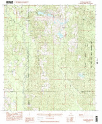
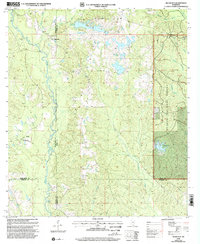
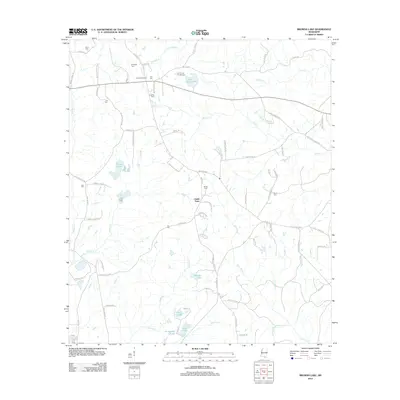
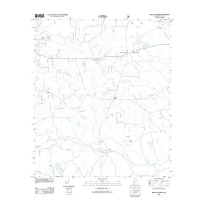
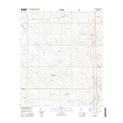
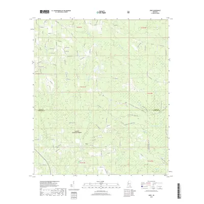
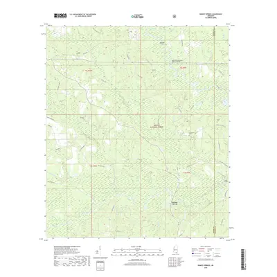
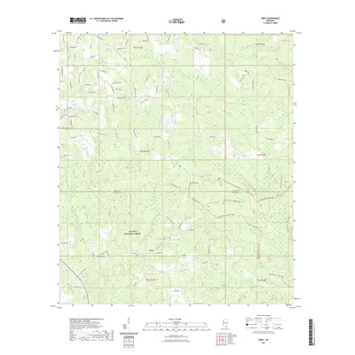
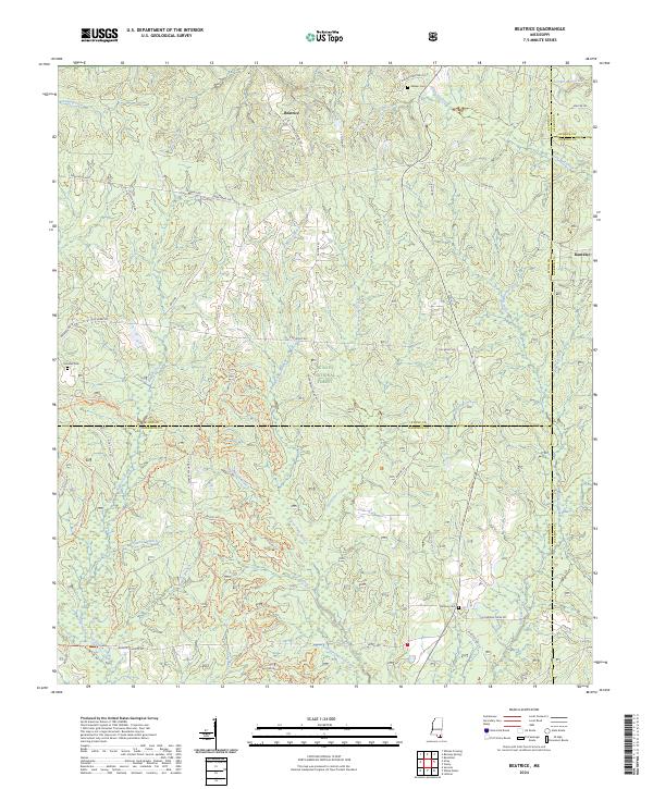
1982 Map of Beatrice
USGS Topo · Published 1982About this map
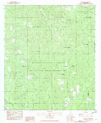
The University of Mississippi Forest and De Soto National Forest dominate this South Mississippi landscape, where timber and wildlife management define the land use. The small settlement of Beatrice sits at the northern edge, while the rest of the terrain is a complex drainage basin for the Tuxachanie Creek and Little Red Creek systems. The map captures an era of state-managed conservation within the Red Creek State Wildlife Management Area, showing a network of unimproved roads and fire trails essential for forest maintenance.
Find a feature on this map
35 named features on this map. Tap any name to fly to it.
Don’t see what you’re looking for? This feature index may not catch every label — zoom into the map to look around manually.
Map Details
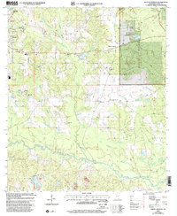
Editions of this 1982 Beatrice Map
This is the sole edition of this map. No revisions or reprints were ever made.
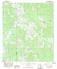
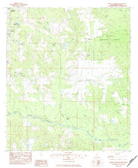
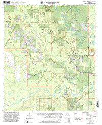
Historical Maps of Beatrice Through Time
45 maps found
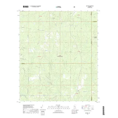
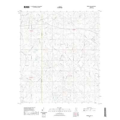
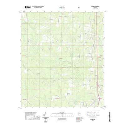
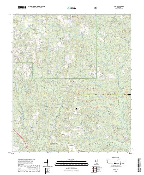
1982 Airey
Stone County, MS
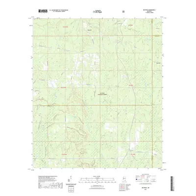
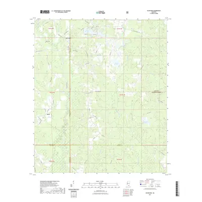
1982 Beatrice
Stone County, MS
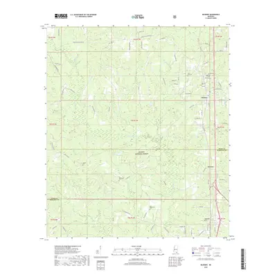
1982 McHenry
Stone County, MS
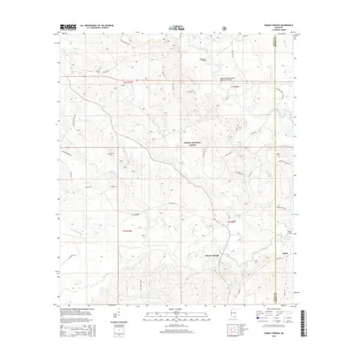
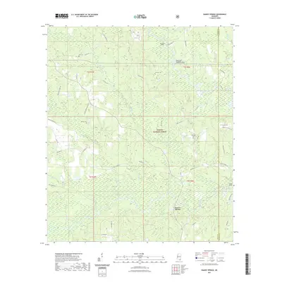
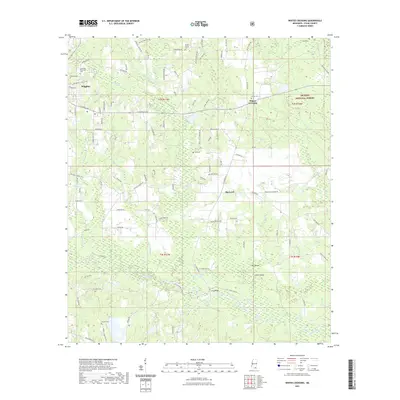
1982 Ramsey Springs
Stone County, MS
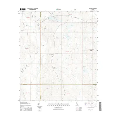
1982 Silver Run
Stone County, MS
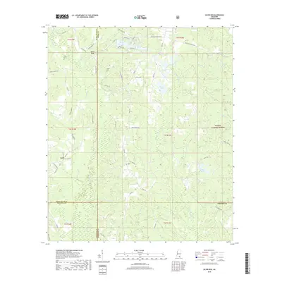
1983 Browns Lake
Stone County, MS
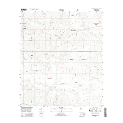
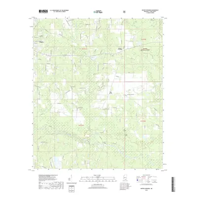
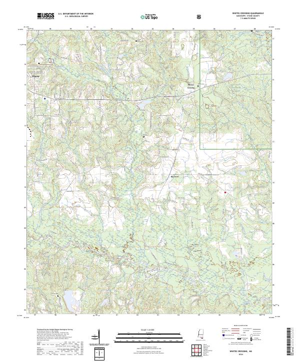
1983 Whites Crossing
Stone County, MS
2000 Ramsey Springs
Stone County, MS
2000 Silver Run
Stone County, MS
2000 Whites Crossing
Stone County, MS
2012 Airey
Stone County, MS
2012 Beatrice
Stone County, MS
2012 Browns Lake
Stone County, MS
2012 McHenry
Stone County, MS
2012 Ramsey Springs
Stone County, MS
2012 Silver Run
Stone County, MS
2012 Whites Crossing
Stone County, MS
2015 Airey
Stone County, MS
2015 Beatrice
Stone County, MS
2015 Browns Lake
Stone County, MS
2015 McHenry
Stone County, MS
2015 Ramsey Springs
Stone County, MS
2015 Silver Run
Stone County, MS
2015 Whites Crossing
Stone County, MS
2018 Airey
Stone County, MS
2018 Beatrice
Stone County, MS
2018 Browns Lake
Stone County, MS
2018 McHenry
Stone County, MS
2018 Ramsey Springs
Stone County, MS
2018 Silver Run
Stone County, MS
2018 Whites Crossing
Stone County, MS
2020 Browns Lake
Stone County, MS
2021 Airey
Stone County, MS
2021 Beatrice
Stone County, MS
2021 McHenry
Stone County, MS
2021 Ramsey Springs
Stone County, MS
2021 Silver Run
Stone County, MS
2021 Whites Crossing
Stone County, MS
2024 Airey
Stone County, MS
2024 Beatrice
Stone County, MS
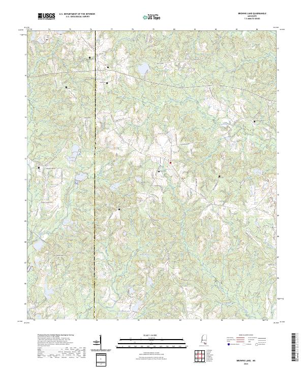
2024 Browns Lake
Stone County, MS
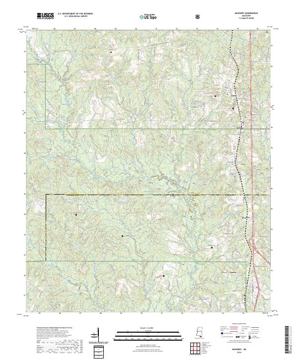
2024 McHenry
Stone County, MS
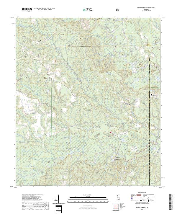
2024 Ramsey Springs
Stone County, MS
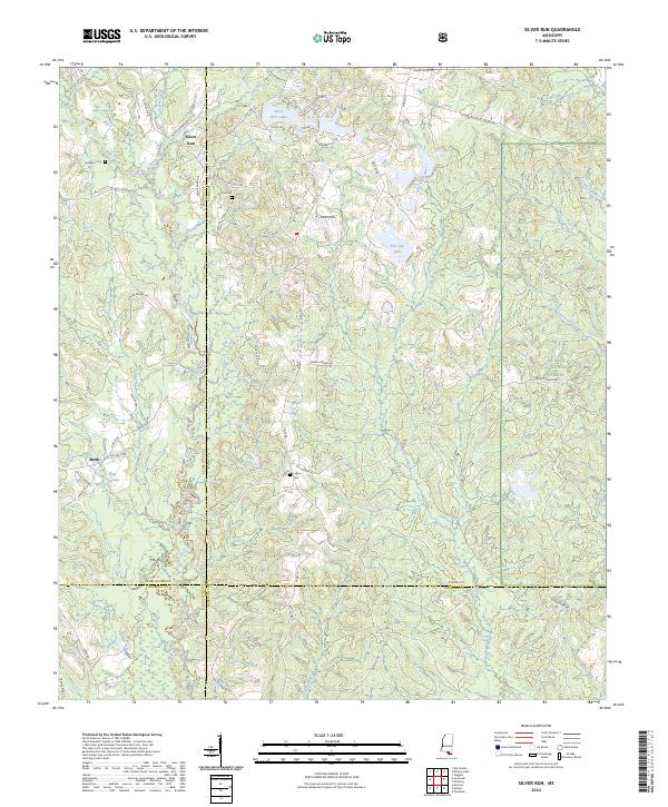
2024 Silver Run
Stone County, MS
2024 Whites Crossing
Stone County, MS