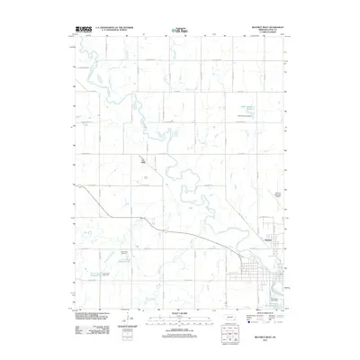
2011 Map of Beatrice West
USGS Topo · Published 2011About this map
The Big Blue River meanders through this portion of Gage County, shaping the local topography as it flows toward the southern edge of the quadrangle. In the early 21st century, the area west of Beatrice remains defined by its water management and agricultural grid, with several tributaries such as Soap Creek, Snake Creek, and Bottle Creek feeding into the main river channel. The settlement of Hoag sits along the northern reaches, while the small community of Glenover is positioned just north of the city's residential outskirts.
Find a feature on this map
45 named features on this map. Tap any name to fly to it.
Don’t see what you’re looking for? This feature index may not catch every label — zoom into the map to look around manually.
Map Details
Editions of this 2011 Beatrice West Map
This is the sole edition of this map. No revisions or reprints were ever made.
Other maps of this area

1955 · Lincoln
USGS Topo · 1:250,000

1957 · Lincoln
USGS Topo · 1:250,000

1957 · Plymouth
USGS Topo · 1:24,000

1957 · Clatonia
USGS Topo · 1:24,000

1957 · Beatrice West
USGS Topo · 1:24,000

1957 · Wilber
USGS Topo · 1:24,000

1957 · Beatrice East
USGS Topo · 1:24,000

1958 · Lincoln
USGS Topo · 1:250,000

1964 · Pickrell
USGS Topo · 1:24,000

1964 · Blue Springs
USGS Topo · 1:24,000