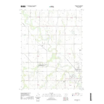
2017 Map of Beatrice West
USGS Topo · Published 2017About this map
The Homestead National Monument preserves the site of one of the first land claims under the Homestead Act of 1862, making it a focal point of this Gage County landscape. Nearby, the Freeman Graves offer a direct connection to the pioneer families who first settled the prairie. The western edge of Beatrice is shown here along the Big Blue River, which meanders through a network of creeks including Snake Cr, Soap Cr, and Bottle Cr.
Find a feature on this map
42 named features on this map. Tap any name to fly to it.
Don’t see what you’re looking for? This feature index may not catch every label — zoom into the map to look around manually.
Map Details
Editions of this 2017 Beatrice West Map
This is the sole edition of this map. No revisions or reprints were ever made.
Other maps of this area

1955 · Lincoln
USGS Topo · 1:250,000

1957 · Lincoln
USGS Topo · 1:250,000

1957 · Plymouth
USGS Topo · 1:24,000

1957 · Clatonia
USGS Topo · 1:24,000

1957 · Beatrice West
USGS Topo · 1:24,000

1957 · Wilber
USGS Topo · 1:24,000

1957 · Beatrice East
USGS Topo · 1:24,000

1958 · Lincoln
USGS Topo · 1:250,000

1964 · Pickrell
USGS Topo · 1:24,000

1964 · Blue Springs
USGS Topo · 1:24,000