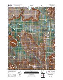
2011 Map of Beatty
USGS Topo · Published 2011About this map
The Sprague River meanders extensively through this section of Klamath County, defining a landscape of wetlands and low-lying water bodies. Near the settlement of Beatty, the Sycan River joins the Sprague, creating a complex network of channels and oxbows. This confluence served as a focal point for local community life, as evidenced by the proximity of the Beatty Post Office and nearby residential streets such as Rim Dr and Lincoln St.
Find a feature on this map
39 named features on this map. Tap any name to fly to it.
Don’t see what you’re looking for? This feature index may not catch every label — zoom into the map to look around manually.
Map Details
Editions of this 2011 Beatty Map
This is the sole edition of this map. No revisions or reprints were ever made.
Other maps of this area
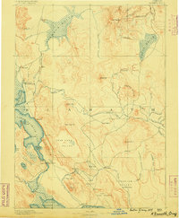
1889 · Klamath
USGS Topo · 1:250,000
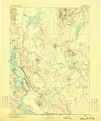
1894 · Klamath
USGS Topo · 1:250,000
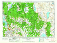
1955 · Klamath Falls
USGS Topo · 1:250,000
1958 · Klamath Falls
USGS Topo · 1:250,000
1960 · Riverbed Butte
USGS Topo · 1:62,500
1960 · Bly
USGS Topo · 1:62,500
1960 · Beatty
USGS Topo · 1:62,500
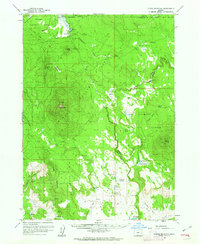
1960 · Fuego Mountain
USGS Topo · 1:62,500
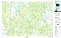
1980 · Williamson River
USGS Topo · 1:100,000
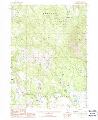
1988 · Yainax Butte
USGS Topo · 1:24,000