Loading...
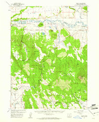
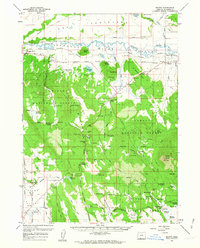
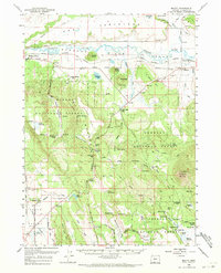
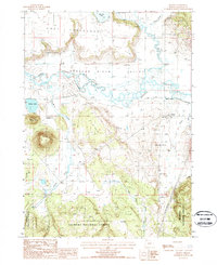
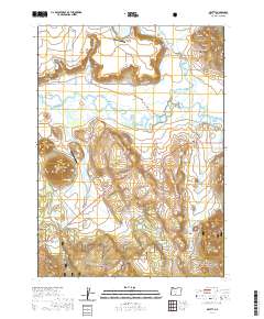
Loading map...1960 Map of Beatty
USGS Topo · Published 1961About this map
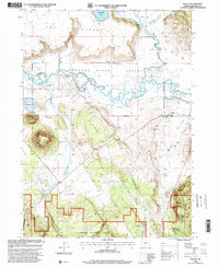
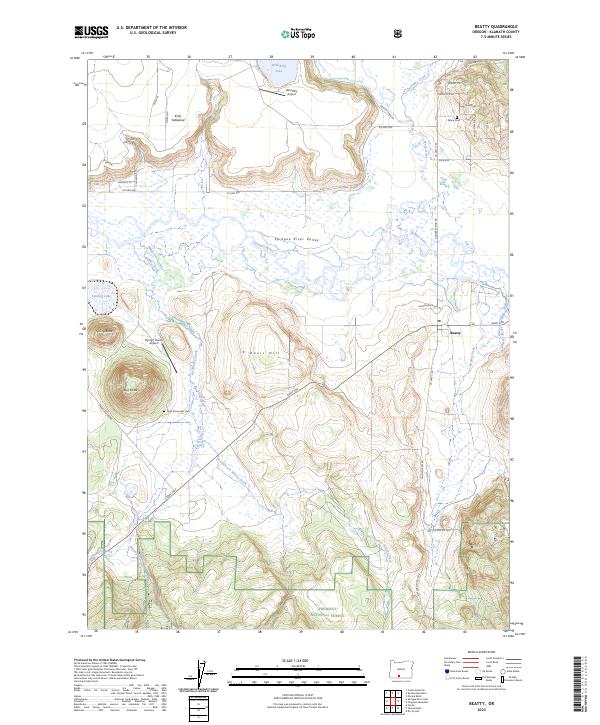
Sprague River meanders through a wide valley at the northern edge of the Klamath Indian Reservation, serving as the primary geographic corridor for this region in the early 1960s. The Oregon California and Eastern Railroad follows the river's path, connecting small settlements like Beatty and the namesake town of Sprague River. This landscape is deeply tied to indigenous history and early development, marked by the Yainax Agency (Site) and several tribal burial grounds, including Paiute Cem and the Chief Schonchin Cem.
Find a feature on this map
79 named features on this map. Tap any name to fly to it.
Don’t see what you’re looking for? This feature index may not catch every label — zoom into the map to look around manually.
Map Details
Date Portrayed1960
Date Published1961
PublisherU.S. Geological Survey
Map TypeTopographic
Scale1:62,500
Physical Dimensions16.8 x 20.8 inches
Editions of this 1960 Beatty Map
3 editions found
Historical Maps of Beatty Through Time
8 maps found
Featured Locations
Source Details
SourceU.S. Geological Survey
CopyrightPublic Domain