Loading...
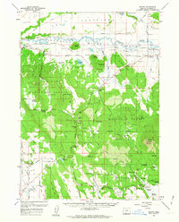
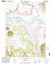
Loading map...1960 Map of Beatty
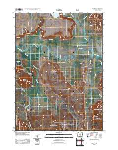
USGS Topo · Published 1963About this map
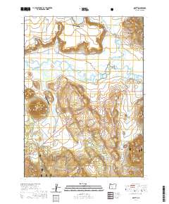
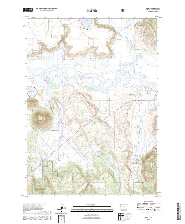
The Klamath Indian Reservation Boundary defines much of this 1960 landscape, showing the transition from the broad Sprague River Valley to the heavily forested uplands of the Winema National Forest and Fremont National Forest. This era captures the critical infrastructure of the Oregon California and Eastern Railroad as it follows the Sprague River through Beatty, providing a vital link for the local timber and ranching economy.
Find a feature on this map
75 named features on this map. Tap any name to fly to it.
Don’t see what you’re looking for? This feature index may not catch every label — zoom into the map to look around manually.
Map Details
Date Portrayed1960
Date Published1963
PublisherU.S. Geological Survey
Map TypeTopographic
Scale1:62,500
Physical Dimensions16.8 x 20.8 inches
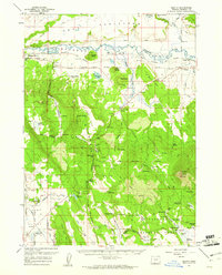
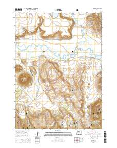
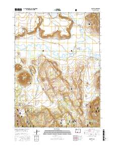
Editions of this 1960 Beatty Map
3 editions found
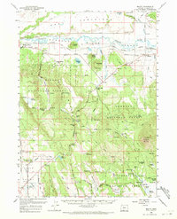
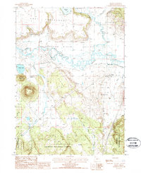
Historical Maps of Beatty Through Time
8 maps found
Featured Locations
Source Details
SourceU.S. Geological Survey
CopyrightPublic Domain