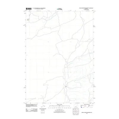
2012 Map of Beauchamp Reservoir
USGS Topo · Published 2012About this map
The South Sage Spring Creek Oil Field occupies the northwest portion of this Wyoming landscape, illustrating the industrial footprint of energy extraction in Natrona County. This arid terrain is defined by its drainage patterns, most notably Cole Cr, which meanders through the central and eastern sections of the quadrangle. The network of local infrastructure is relatively sparse, anchored by thoroughfares like E Ormsby Rd and Co Rd-22. Topographical features such as Derrick Draw provide insight into the natural watershed that characterizes this part of the state. For those studying the evolution of land use, the map serves as a record of how remote oil fields and natural waterways interact within the high plains environment during the early twenty-first century.
Find a feature on this map
5 named features on this map. Tap any name to fly to it.
Don’t see what you’re looking for? This feature index may not catch every label — zoom into the map to look around manually.
Map Details
Editions of this 2012 Beauchamp Reservoir Map
This is the sole edition of this map. No revisions or reprints were ever made.
Other maps of this area

1949 · Campbell Hill
USGS Topo · 1:24,000

1949 · Glenrock NW
USGS Topo · 1:24,000

1949 · Pratts Soda Lakes
USGS Topo · 1:24,000

1950 · Campbell Hill
USGS Topo · 1:24,000

1950 · Glenrock NW
USGS Topo · 1:24,000

1950 · Pratts Soda Lakes
USGS Topo · 1:24,000

1954 · Torrington
USGS Topo · 1:250,000

1955 · Newcastle
USGS Topo · 1:250,000

1955 · Arminto
USGS Topo · 1:250,000

1955 · Casper
USGS Topo · 1:250,000