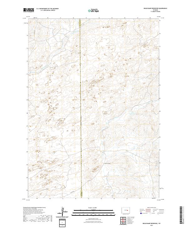
2021 Map of Beauchamp Reservoir
USGS Topo · Published 2021About this map
Beauchamp Reservoir serves as a central hydrological point in this high-plains landscape situated along the border of Natrona and Converse counties. The terrain is defined by a series of intermittent watercourses and draws, including the winding path of Sand Spring Cr and Cole Cr. Rural access is maintained through a network of unpaved routes such as Co Rd 22 and E Ormsby Rd, which traverse the open range. The land is precisely divided by the Public Land Survey System grid, shown here across Townships 35 and 36 North, where Derrick Draw cuts through the sedimentary landscape. This modern survey reflects the enduring spatial organization of the Wyoming ranching country, where named landmarks often center on essential water sources and the low-density infrastructure of Sage Creek.
Find a feature on this map
12 named features on this map. Tap any name to fly to it.
Don’t see what you’re looking for? This feature index may not catch every label — zoom into the map to look around manually.
Map Details
Editions of this 2021 Beauchamp Reservoir Map
This is the sole edition of this map. No revisions or reprints were ever made.
Other maps of this area

1949 · Campbell Hill
USGS Topo · 1:24,000

1949 · Glenrock NW
USGS Topo · 1:24,000

1949 · Pratts Soda Lakes
USGS Topo · 1:24,000

1950 · Campbell Hill
USGS Topo · 1:24,000

1950 · Glenrock NW
USGS Topo · 1:24,000

1950 · Pratts Soda Lakes
USGS Topo · 1:24,000

1954 · Torrington
USGS Topo · 1:250,000

1955 · Newcastle
USGS Topo · 1:250,000

1955 · Arminto
USGS Topo · 1:250,000

1955 · Casper
USGS Topo · 1:250,000