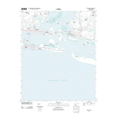
2011 Map of Beaufort
USGS Topo · Published 2011About this map
Beaufort and Morehead City dominate this coastal landscape at the convergence of the Newport River, Bogue Sound, and the Atlantic Ocean. The map provides a detailed view of the maritime infrastructure and historical preservation areas of the early 21st century, including the Beaufort Restoration Grounds and the Beaufort Docks. Local history is anchored by significant interment sites like the Old Burying Grounds, Bay View Cemetery, and Ocean View Cemetery.
Find a feature on this map
60 named features on this map. Tap any name to fly to it.
Don’t see what you’re looking for? This feature index may not catch every label — zoom into the map to look around manually.
Map Details
Editions of this 2011 Beaufort Map
This is the sole edition of this map. No revisions or reprints were ever made.
Other maps of this area
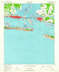
1949 · Beaufort
USGS Topo · 1:24,000
1949 · Newport
USGS Topo · 1:24,000
1949 · Williston
USGS Topo · 1:24,000
1949 · Harkers Island
USGS Topo · 1:24,000
1949 · Mansfield
USGS Topo · 1:24,000
1949 · Core Creek
USGS Topo · 1:24,000
1951 · Williston
USGS Topo · 1:24,000
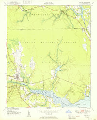
1951 · Newport
USGS Topo · 1:24,000
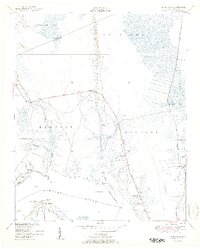
1951 · Core Creek
USGS Topo · 1:24,000
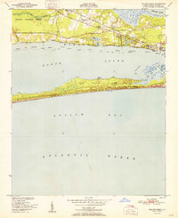
1951 · Peltier Creek
USGS Topo · 1:24,000