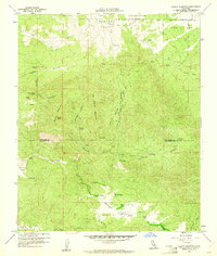
1960 Map of Beauty Mountain
USGS Topo · Published 1961About this map
Cahuilla Indian Reservation lands dominate the northern reaches of this 1960s survey, illustrating a rugged landscape of high peaks and isolated valleys along the boundary of Riverside and San Diego Counties. The terrain is marked by significant elevation changes, from Beauty Peak down into the broad Chihuahua Valley. Evidence of early 20th-century resource extraction and transit appears in the form of the Pawnee Mine and the Puerta La Cruz Trail, while remote outposts like Mitchell Camp and Boden Field suggest the area's use for ranching and seasonal habitation. Water is a defining factor in this arid environment, with numerous named sources such as Million Dollar Spring, Adobe Springs, and the Twin Lakes providing vital support for the scattered settlements found in Dodge Valley and Durasno Valley.
Find a feature on this map
31 named features on this map. Tap any name to fly to it.
Don’t see what you’re looking for? This feature index may not catch every label — zoom into the map to look around manually.
Map Details
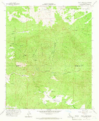
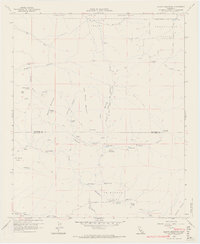
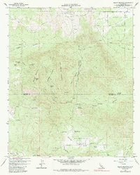
Editions of this 1960 Beauty Mountain Map
4 editions found
Other maps of this area

1901 · Southern California Sheet No. 1
USGS Topo · 1:250,000

1901 · San Jacinto
USGS Topo · 1:125,000

1903 · Ramona
USGS Topo · 1:125,000

1904 · Southern California Sheet No. 2
USGS Topo · 1:250,000

1904 · Southern California Sheet No. 1
USGS Topo · 1:250,000

1939 · Warner Springs
USGS Topo · 1:62,500

1939 · Palomar Mountain
USGS Topo · 1:62,500

1940 · Hemet Reservoir
USGS Topo · 1:62,500

1942 · Hemet Reservoir
USGS Topo · 1:62,500

1942 · Hemet
USGS Topo · 1:62,500