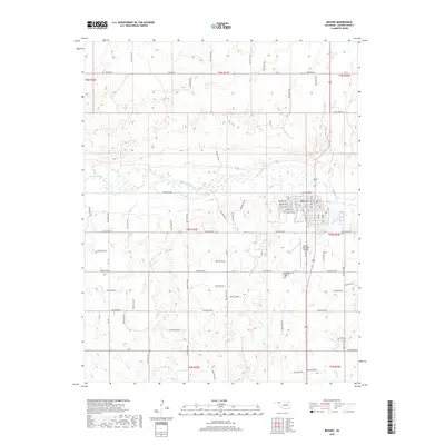
2018 Map of Beaver
USGS Topo · Published 2018About this map
The town of Beaver sits as the central hub of this High Plains landscape, situated just south of the Beaver River where the riverbed spreads across a wide valley floor. The settlement is organized on a traditional grid, featuring numbered residential streets and a downtown district near Branch Market. Transportation and logistics define the local infrastructure, from the Beaver Municipal Airport on the eastern outskirts to the primary thoroughfare of Beaver Rd.
Find a feature on this map
67 named features on this map. Tap any name to fly to it.
Don’t see what you’re looking for? This feature index may not catch every label — zoom into the map to look around manually.
Map Details
Editions of this 2018 Beaver Map
This is the sole edition of this map. No revisions or reprints were ever made.
Other maps of this area

1954 · Perryton
USGS Topo · 1:250,000

1958 · Perryton
USGS Topo · 1:250,000

1970 · Mocane NW
USGS Topo · 1:24,000

1971 · Clear Lake NW
USGS Topo · 1:24,000
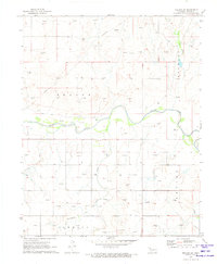
1971 · Mocane SW
USGS Topo · 1:24,000

1973 · Balko
USGS Topo · 1:24,000

1973 · Balko NE
USGS Topo · 1:24,000

1973 · Floris
USGS Topo · 1:24,000
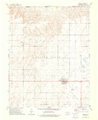
1973 · Forgan
USGS Topo · 1:24,000

1973 · Beaver
USGS Topo · 1:24,000