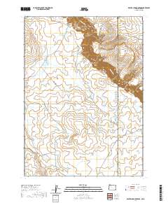
2020 Map of Beaver Charlie Breaks
USGS Topo · Published 2020About this map
Owyhee Canyon dominates the eastern landscape of this high desert region along the border of Malheur County and Owyhee County, Idaho. The terrain is defined by the steep escarpment of the Beaver Charlie Breaks and the winding course of the Owyhee River. This area is characterized by a sophisticated network of water management features, including the North Oregon Hill Reservoir, South Oregon Hill Reservoir, and the West Beaver Charlie Reservoir, illustrating the critical role of water storage in this arid ranching and rangeland environment.
Find a feature on this map
32 named features on this map. Tap any name to fly to it.
Don’t see what you’re looking for? This feature index may not catch every label — zoom into the map to look around manually.
Map Details
Editions of this 2020 Beaver Charlie Breaks Map
This is the sole edition of this map. No revisions or reprints were ever made.
Other maps of this area

1955 · Jordan Valley
USGS Topo · 1:250,000

1957 · Jordan Valley
USGS Topo · 1:250,000

1958 · Jordan Valley
USGS Topo · 1:250,000

1973 · Bedstead Ridge
USGS Topo · 1:24,000

1973 · Spring Creek Basin
USGS Topo · 1:24,000
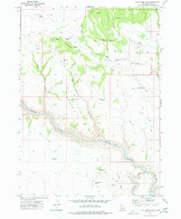
1977 · Bull Basin Camp
USGS Topo · 1:24,000
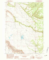
1982 · Deacon Crossing
USGS Topo · 1:24,000
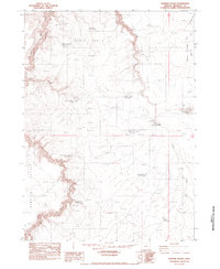
1982 · Rawhide Pocket
USGS Topo · 1:24,000
1982 · Defeat Butte
USGS Topo · 1:24,000
1982 · Stoney Corral
USGS Topo · 1:24,000