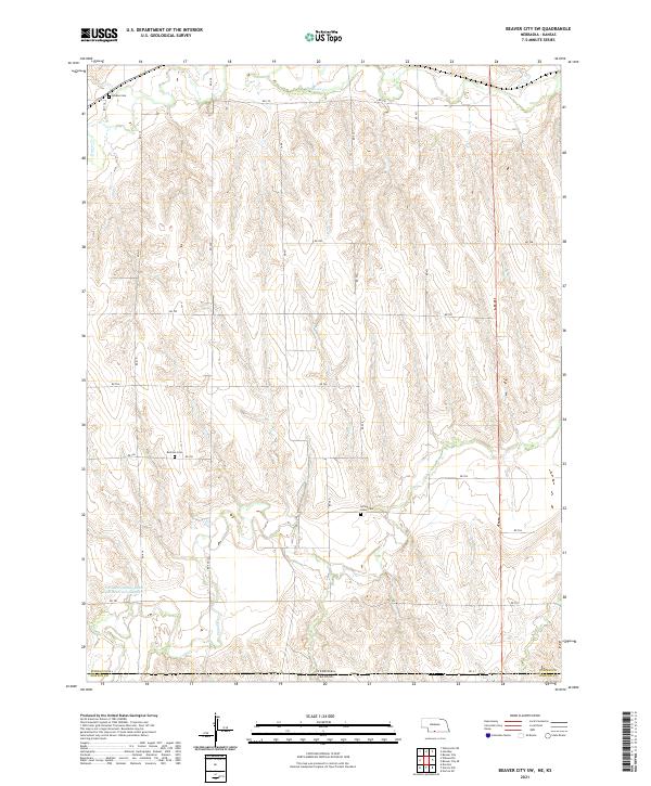
2021 Map of Beaver City SW
USGS Topo · Published 2021About this map
The Nebraska-Kansas border marks the southern edge of this landscape, where the agricultural plains of Furnas County meet the high tablelands of Norton County. The drainage patterns of the region are defined by the meandering courses of Beaver Creek in the north and Sappa Creek to the south, which have carved distinct valleys into the loess hills. These watercourses were vital to early settlement, providing the necessary water and riparian timber in an otherwise open prairie.
Find a feature on this map
28 named features on this map. Tap any name to fly to it.
Don’t see what you’re looking for? This feature index may not catch every label — zoom into the map to look around manually.
Map Details
Editions of this 2021 Beaver City SW Map
This is the sole edition of this map. No revisions or reprints were ever made.
Other maps of this area

1893 · Norton
USGS Topo · 1:125,000

1896 · Arapahoe
USGS Topo · 1:125,000

1898 · Arapahoe
USGS Topo · 1:125,000

1951 · Norton
USGS Topo · 1:62,500

1951 · Norcatur
USGS Topo · 1:62,500

1954 · McCook
USGS Topo · 1:250,000

1954 · Goodland
USGS Topo · 1:250,000

1955 · Grand Island
USGS Topo · 1:250,000

1955 · Beloit
USGS Topo · 1:250,000

1956 · Goodland
USGS Topo · 1:250,000