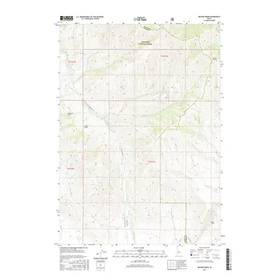
2017 Map of Beaver Creek
USGS Topo · Published 2017About this map
Sawtooth National Forest dominates the landscape of this high-elevation region, where the border of Blaine County and Camas County cuts through a dense network of gulches and creeks. The drainage patterns are intricate, with north-flowing waters like Nebraska Cr and Cherry Cr eventually meeting the larger Beaver Cr system. To the east, the topography rises toward Square Mtn and the steep terrain of Jumbo Canyon.
Find a feature on this map
33 named features on this map. Tap any name to fly to it.
Don’t see what you’re looking for? This feature index may not catch every label — zoom into the map to look around manually.
Map Details
Editions of this 2017 Beaver Creek Map
This is the sole edition of this map. No revisions or reprints were ever made.
Other maps of this area

1895 · Hailey
USGS Topo · 1:125,000

1897 · Hailey
USGS Topo · 1:125,000

1900 · Sawtooth
USGS Topo · 1:125,000

1955 · Hailey
USGS Topo · 1:250,000

1957 · Bellevue
USGS Topo · 1:62,500

1957 · Blaine
USGS Topo · 1:62,500

1959 · Hailey
USGS Topo · 1:250,000

1962 · Hailey
USGS Topo · 1:250,000

1967 · Mahoney Butte
USGS Topo · 1:24,000

1970 · Dollarhide Mtn
USGS Topo · 1:24,000