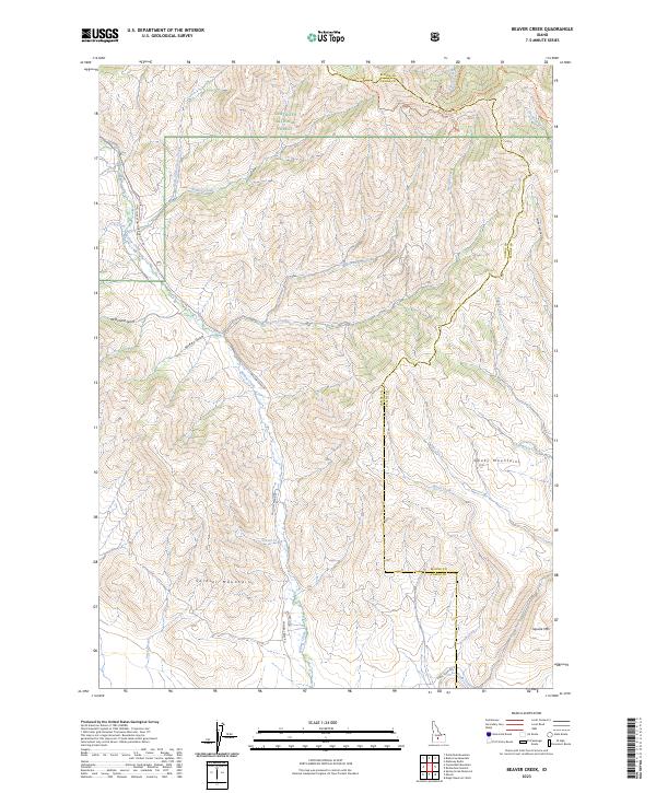
2023 Map of Beaver Creek
USGS Topo · Published 2023About this map
Sawtooth National Forest dominates the northern landscape of this region, where the high ridges of the Smoky Mountains meet the Soldier Mountains along the boundary of Camas and Blaine counties. The terrain is defined by a dense network of drainages including Beaver Creek and the long course of Willow Creek, which is paralleled by Willow Creek Rd. This modern survey illustrates the preservation of backcountry access through established routes like the Little Beaver Creek Trl and the Wolfone-Curran Trl. The geography is characterized by deep incisions such as McKay Gulch and McDonald Gulch, while isolated heights like Square Mtn provide distinct landmarks for navigation. This map serves as a clear record of the watershed patterns and forest service infrastructure in this part of the Idaho high country.
Find a feature on this map
34 named features on this map. Tap any name to fly to it.
Don’t see what you’re looking for? This feature index may not catch every label — zoom into the map to look around manually.
Map Details
Editions of this 2023 Beaver Creek Map
This is the sole edition of this map. No revisions or reprints were ever made.
Other maps of this area

1895 · Hailey
USGS Topo · 1:125,000

1897 · Hailey
USGS Topo · 1:125,000

1900 · Sawtooth
USGS Topo · 1:125,000

1955 · Hailey
USGS Topo · 1:250,000

1957 · Bellevue
USGS Topo · 1:62,500

1957 · Blaine
USGS Topo · 1:62,500

1959 · Hailey
USGS Topo · 1:250,000

1962 · Hailey
USGS Topo · 1:250,000

1967 · Mahoney Butte
USGS Topo · 1:24,000

1970 · Dollarhide Mtn
USGS Topo · 1:24,000