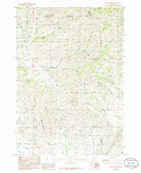
1986 Map of Beaver Creek
USGS Topo · Published 1986About this map
Sawtooth National Forest dominates the northern reaches of this mid-1980s landscape, where high-elevation drainage systems like Nebraska Creek and Kinsey Creek flow southward through the Soldier Mountains. The terrain transitions from these rugged peaks down into the level expanse of the Camas Prairie in the south. This area is defined by a dense network of mountain streams and narrow canyons, including Mc Kay Gulch and Mc Donald Gulch, which feed into the larger Beaver Creek watershed.
Find a feature on this map
32 named features on this map. Tap any name to fly to it.
Don’t see what you’re looking for? This feature index may not catch every label — zoom into the map to look around manually.
Map Details
Editions of this 1986 Beaver Creek Map
This is the sole edition of this map. No revisions or reprints were ever made.
Other maps of this area

1895 · Hailey
USGS Topo · 1:125,000

1897 · Hailey
USGS Topo · 1:125,000

1900 · Sawtooth
USGS Topo · 1:125,000

1955 · Hailey
USGS Topo · 1:250,000

1957 · Bellevue
USGS Topo · 1:62,500

1957 · Blaine
USGS Topo · 1:62,500

1959 · Hailey
USGS Topo · 1:250,000

1962 · Hailey
USGS Topo · 1:250,000

1967 · Mahoney Butte
USGS Topo · 1:24,000

1970 · Dollarhide Mtn
USGS Topo · 1:24,000