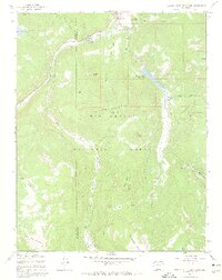
1967 Map of Beaver Creek Reservoir
USGS Topo · Published 1969About this map
The South Fork Rio Grande cuts through the northern reaches of this high-elevation landscape, where the Rio Grande National Forest dominates the terrain of Mineral and Rio Grande counties. The map documents an area defined by water management and mountain recreation in the late 1960s, centered on the Beaver Creek Reservoir and the smaller Million Reservoir. A network of specialized transportation routes, including the Tewsberry Pack Trail and several rugged jeep trails like the Coal Mine Park Jeep Trail, reveals how these backcountry areas were accessed for both forest management and cattle grazing. Evidence of seasonal alpine use is scattered throughout, from the Beaver Creek Youth Camp and multiple campgrounds to the wide expanse of Cattle Mountain and the high peaks of Goodrich Peak and Demijohn Peak.
Find a feature on this map
39 named features on this map. Tap any name to fly to it.
Don’t see what you’re looking for? This feature index may not catch every label — zoom into the map to look around manually.
Map Details
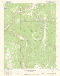
Editions of this 1967 Beaver Creek Reservoir Map
3 editions found
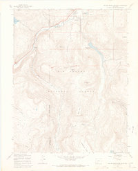
Other maps of this area

1913 · Summitville
USGS Topo · 1:125,000

1914 · Creede
USGS Topo · 1:125,000

1915 · Summitville
USGS Topo · 1:125,000

1916 · Creede
USGS Topo · 1:125,000

1945 · Durango
USGS Topo · 1:250,000

1953 · Durango
USGS Topo · 1:250,000

1954 · Durango
USGS Topo · 1:250,000

1957 · Wolf Creek Pass
USGS Topo · 1:62,500

1957 · Spar City
USGS Topo · 1:62,500

1961 · Durango
USGS Topo · 1:250,000