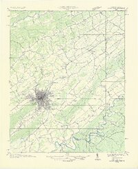
1935 Map of Beaver Creek
USGS Topo · Published 1935About this map
Bristol straddles the border between Tennessee and Virginia, serving as a significant rail hub where the Southern Railway and Norfolk And Western Railway converge. The 1935 landscape is defined by the winding paths of the North Fork Holston River and South Fork Holston River, which frame a territory of ridges including Walker Mountain and Rich Mountain. The town's infrastructure at this time includes the Bristol Reservoir and the Bristol Landing Field, reflecting the civic expansion of the era.
Find a feature on this map
86 named features on this map. Tap any name to fly to it.
Don’t see what you’re looking for? This feature index may not catch every label — zoom into the map to look around manually.
Map Details
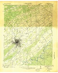
Editions of this 1935 Beaver Creek Map
2 editions found
Other maps of this area

1891 · Roan Mountain
USGS Topo · 1:125,000

1891 · Abingdon
USGS Topo · 1:125,000

1893 · Cranberry
USGS Topo · 1:125,000

1894 · Roan Mountain
USGS Topo · 1:125,000

1894 · Abingdon
USGS Topo · 1:125,000

1895 · Cranberry
USGS Topo · 1:125,000

1897 · Bristol
USGS Topo · 1:125,000

1899 · Cranberry
USGS Topo · 1:125,000

1902 · Bristol
USGS Topo · 1:125,000

1902 · Cranberry
USGS Topo · 1:125,000