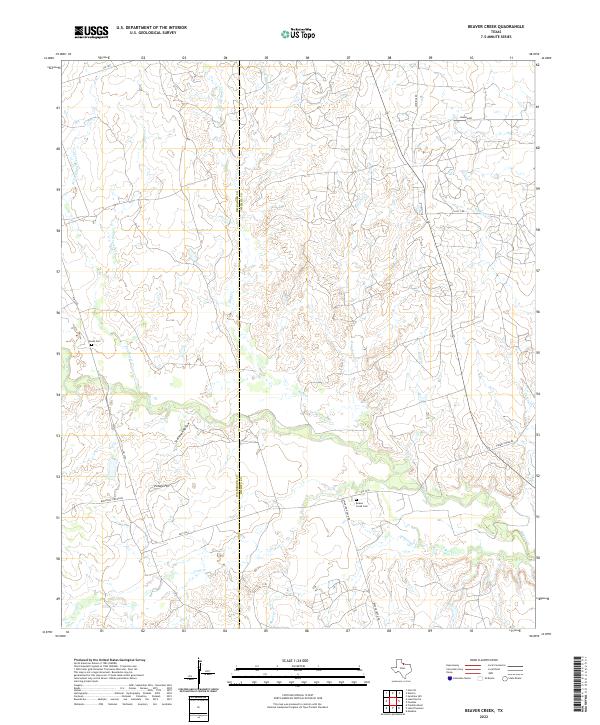
2022 Map of Beaver Creek
USGS Topo · Published 2022About this map
The Beaver Cr watershed dominates this part of North Texas, where the landscape transitions across the Wilbarger and Wichita County line. The map captures a primarily rural ranching and agricultural region defined by a network of drainage systems, including Rough Cr, Coon Cr, and the winding Sunflower Cr. Cultural landmarks for genealogists and local historians are concentrated along the primary roads, notably the Beaver Creek Cem near Swanson Ranch Rd and the Ronda Cem to the northwest. Natural landmarks like Potato Hill and Steinman Hollow provide topographic relief in an area otherwise characterized by steady stream-carved drainage. The road network, including FM 2326 and Boosters Station Rd, connects these remote homesteads and burial sites, offering a clear view of the modern land use and historical property boundaries in this section of the Red River valley hinterlands.
Find a feature on this map
25 named features on this map. Tap any name to fly to it.
Don’t see what you’re looking for? This feature index may not catch every label — zoom into the map to look around manually.
Map Details
Editions of this 2022 Beaver Creek Map
This is the sole edition of this map. No revisions or reprints were ever made.
Other maps of this area

1915 · Barwise School
USGS Topo · 1:24,000

1916 · Electra
USGS Topo · 1:24,000

1916 · Fowlkes
USGS Topo · 1:24,000

1917 · Beaver Creek
USGS Topo · 1:24,000

1918 · Electra
USGS Topo · 1:31,680

1918 · Barwise School
USGS Topo · 1:31,680

1919 · Fowlkes
USGS Topo · 1:31,680

1920 · Beaver Creek
USGS Topo · 1:31,680

1954 · Wichita Falls
USGS Topo · 1:250,000

1955 · Lawton
USGS Topo · 1:250,000