
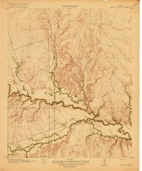
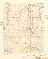
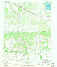
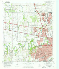
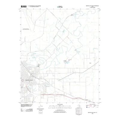
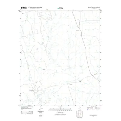
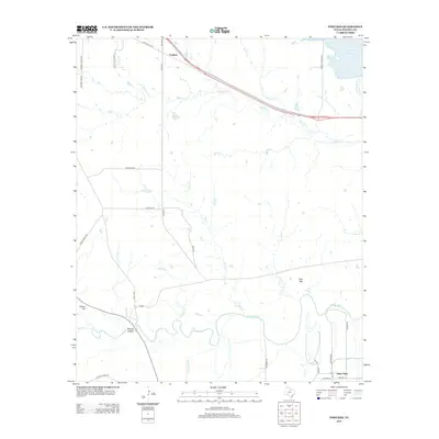
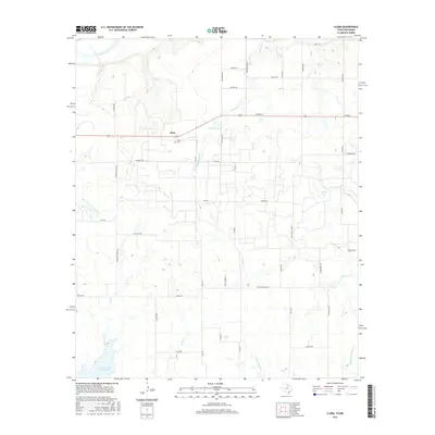
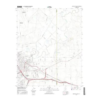
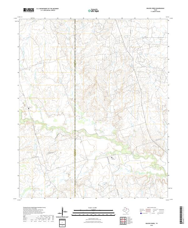
1920 Map of Beaver Creek
USGS Topo · Published 1932About this map
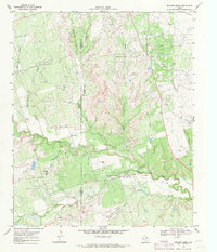
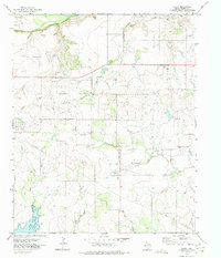
Beaver Creek meanders through this North Texas landscape, defining a complex system of drainages that once supported early twentieth-century rural life. Surveyed between 1916 and 1917, the map illustrates the boundary between Wilbarger and Wichita counties, where a network of wagon roads connects isolated farmsteads and social hubs. The local community structure is anchored by Marvin Chapel and educational centers like Beaver Creek School and Ronda School, which served the scattered families of this prairie region.
Find a feature on this map
16 named features on this map. Tap any name to fly to it.
Don’t see what you’re looking for? This feature index may not catch every label — zoom into the map to look around manually.
Map Details
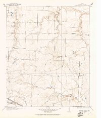
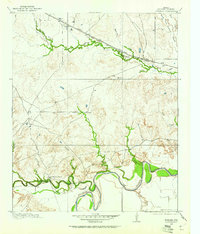
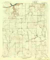
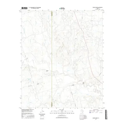
Editions of this 1920 Beaver Creek Map
2 editions found
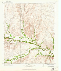
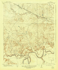
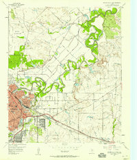
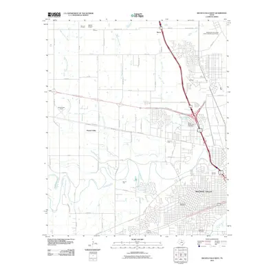
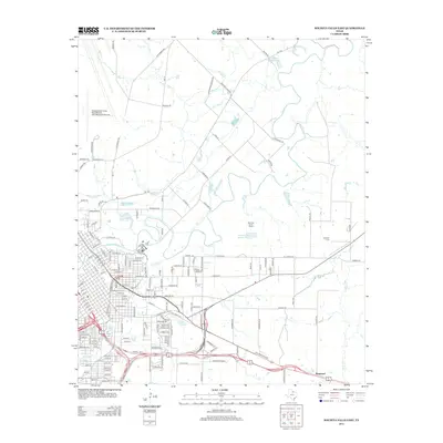
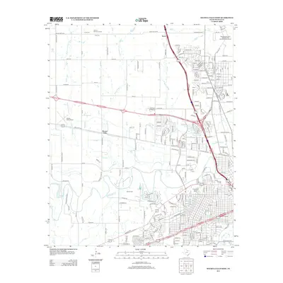
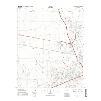
Historical Maps of Wichita County Through Time
53 maps found
1915 Barwise School
Wichita County, TX

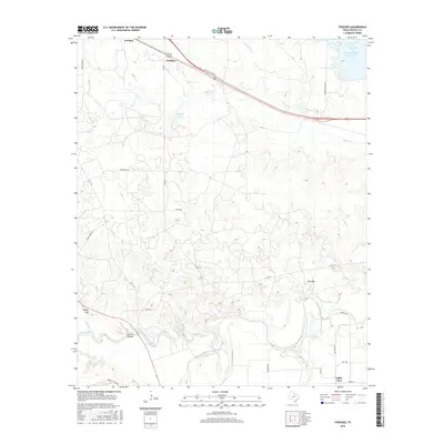
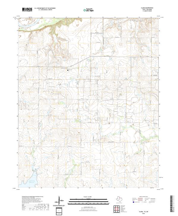
1915 Clara
Wichita County, TX
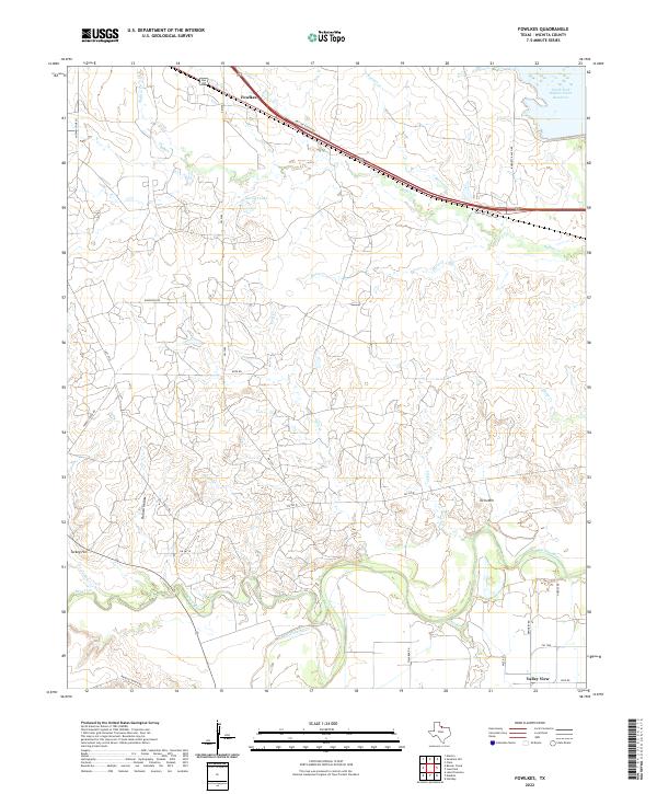
1916 Fowlkes
Wichita County, TX
1917 Beaver Creek
Wichita County, TX
1918 Barwise School
Wichita County, TX
1918 Clara
Wichita County, TX
1919 Fowlkes
Wichita County, TX
1920 Beaver Creek
Wichita County, TX
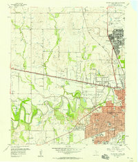
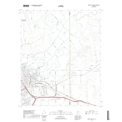
1957 Wichita Falls East
Wichita County, TX
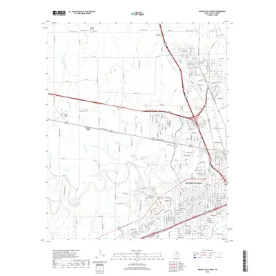
1957 Wichita Falls West
Wichita County, TX
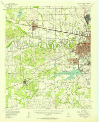
1957 Wichita Falls West
Wichita County, TX
1968 Beaver Creek
Wichita County, TX
1968 Fowlkes
Wichita County, TX
1972 Clara
Wichita County, TX
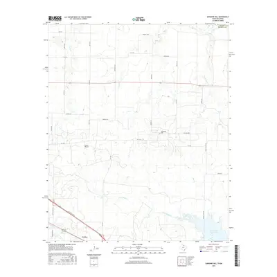
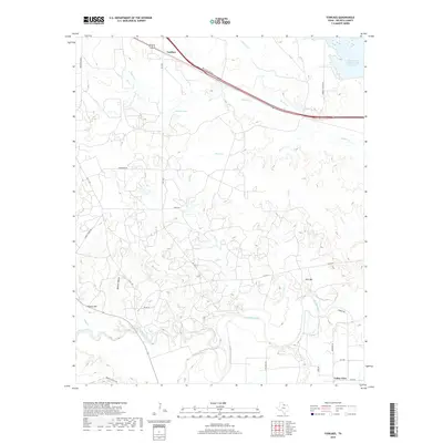
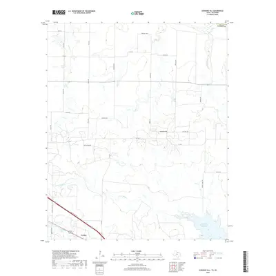
1972 Sunshine Hill
Wichita County, TX
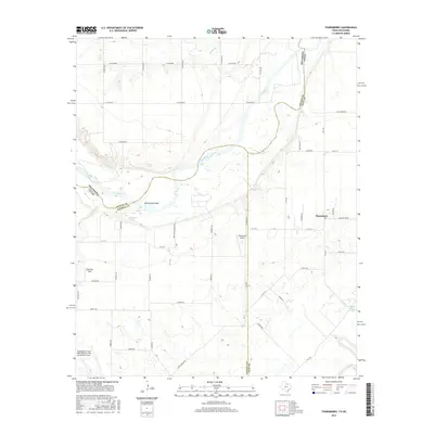
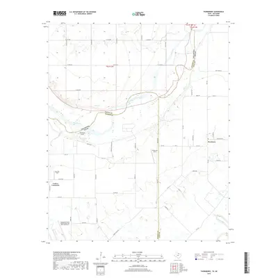
1972 Thornberry
Wichita County, TX
1972 Wichita Falls East
Wichita County, TX
1972 Wichita Falls West
Wichita County, TX
2010 Beaver Creek
Wichita County, TX
2010 Fowlkes
Wichita County, TX
2010 Thornberry
Wichita County, TX
2010 Wichita Falls East
Wichita County, TX
2010 Wichita Falls West
Wichita County, TX
2011 Clara
Wichita County, TX
2011 Sunshine Hill
Wichita County, TX
2012 Beaver Creek
Wichita County, TX
2012 Clara
Wichita County, TX
2012 Sunshine Hill
Wichita County, TX
2012 Thornberry
Wichita County, TX
2013 Fowlkes
Wichita County, TX
2013 Wichita Falls East
Wichita County, TX
2013 Wichita Falls West
Wichita County, TX
2016 Beaver Creek
Wichita County, TX
2016 Clara
Wichita County, TX
2016 Fowlkes
Wichita County, TX
2016 Sunshine Hill
Wichita County, TX
2016 Thornberry
Wichita County, TX
2016 Wichita Falls East
Wichita County, TX
2016 Wichita Falls West
Wichita County, TX
2019 Beaver Creek
Wichita County, TX
2019 Clara
Wichita County, TX
2019 Fowlkes
Wichita County, TX
2019 Sunshine Hill
Wichita County, TX
2019 Thornberry
Wichita County, TX
2019 Wichita Falls East
Wichita County, TX
2019 Wichita Falls West
Wichita County, TX
2022 Beaver Creek
Wichita County, TX
2022 Clara
Wichita County, TX
2022 Fowlkes
Wichita County, TX
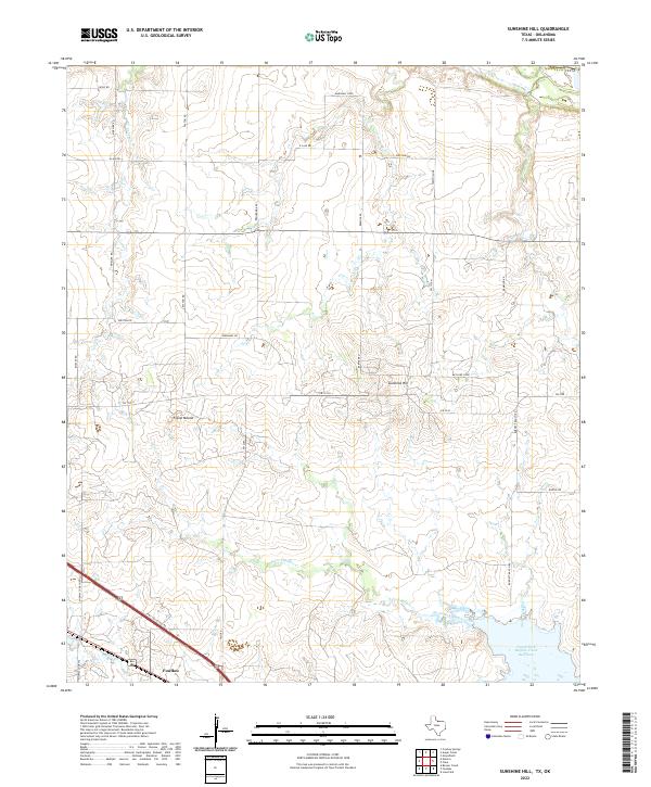
2022 Sunshine Hill
Wichita County, TX
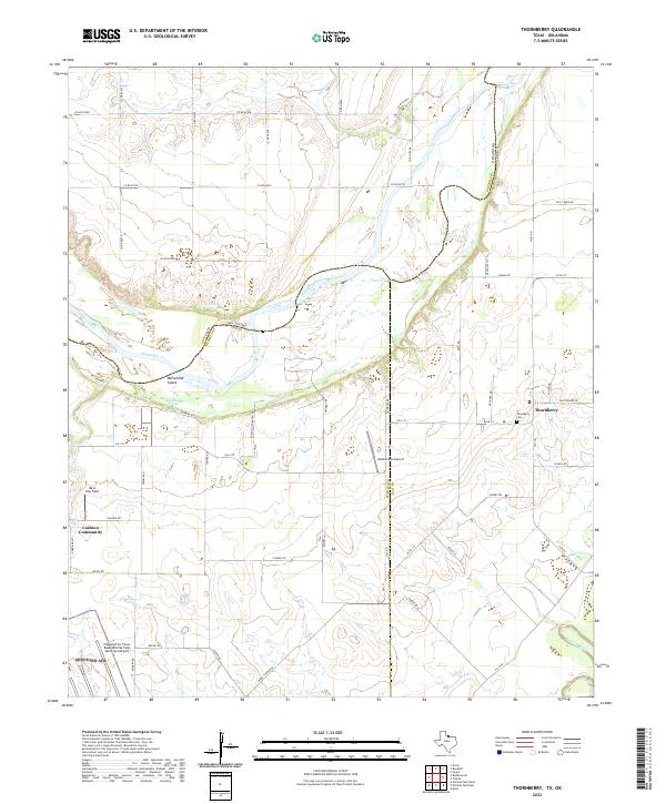
2022 Thornberry
Wichita County, TX
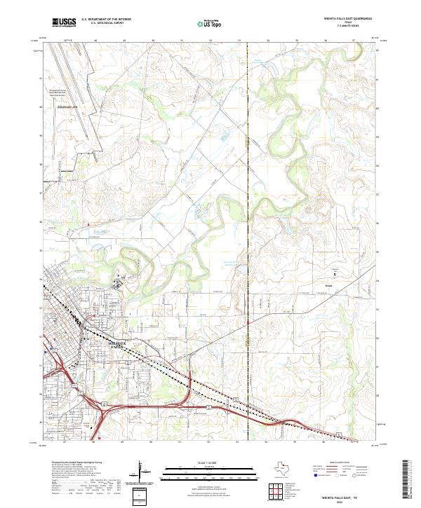
2022 Wichita Falls East
Wichita County, TX
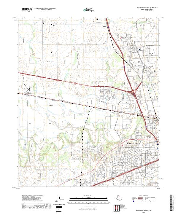
2022 Wichita Falls West
Wichita County, TX