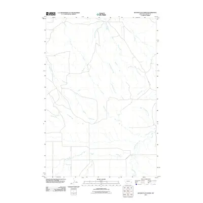
2011 Map of Beaver Flats North
USGS Topo · Published 2011About this map
O'Fallon Creek and its complex network of tributaries define this reach of the Montana high plains in Carter County. The drainage patterns of Lily Creek, Buffalo Creek, and Munro Creek reveal a landscape carved by seasonal waterways. This 2011 survey documents a sparse, open territory where the human imprint is primarily found in the names of primitive roads and ancient cattle trails. The prominent Miles City Cutoff traverses the eastern edge of the quadrangle, serving as a reminder of the historic transportation routes used by early ranchers and settlers in this part of the state. Lower-order roads like Stearns Rd, Georgie's Rd, and Hutton Rd provide access to the remote backcountry near Line Camp Creek and Ewalt Creek. This area remains dominated by ranching interests, as evidenced by the lack of incorporated towns and the presence of names like School Section Creek, which references the public land system.
Find a feature on this map
16 named features on this map. Tap any name to fly to it.
Don’t see what you’re looking for? This feature index may not catch every label — zoom into the map to look around manually.
Map Details
Editions of this 2011 Beaver Flats North Map
This is the sole edition of this map. No revisions or reprints were ever made.
Other maps of this area

1953 · Miles City
USGS Topo · 1:250,000

1954 · Ekalaka
USGS Topo · 1:250,000

1956 · Ekalaka
USGS Topo · 1:250,000

1957 · Miles City
USGS Topo · 1:250,000

1958 · Miles City
USGS Topo · 1:250,000

1958 · Ekalaka
USGS Topo · 1:250,000

1965 · Ekalaka
USGS Topo · 1:250,000

1979 · Blacktail Creek SE
USGS Topo · 1:24,000

1979 · Board Corral Creek
USGS Topo · 1:24,000

1979 · Beaver Flats South
USGS Topo · 1:24,000