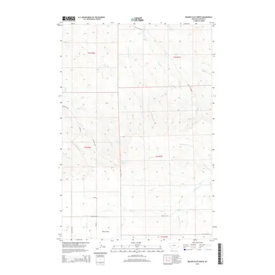
2014 Map of Beaver Flats North
USGS Topo · Published 2014About this map
Beaver Flats lies at the southern edge of this Carter County landscape, situated where the high plains are carved by an intricate drainage system. The drainage pattern is defined by major watercourses like Buffalo Cr and O'Fallon Cr, which are fed by numerous seasonal tributaries including Lily Cr and Munro Cr. This 2014 survey documents the enduring spatial layout of the eastern Montana rangelands, where transportation is dictated by the terrain. The presence of the Miles City Cutoff in the northern sections indicates a legacy of regional transit through this open country. Local access is maintained through a network of rural routes such as Markuson Rd, Meyers Rd, and Beaver Flats Rd, tracing the paths between remote homesteads and grazing lands. The map also captures several named geographic features that suggest historical land use, such as Line Camp Cr and School Section Cr.
Find a feature on this map
24 named features on this map. Tap any name to fly to it.
Don’t see what you’re looking for? This feature index may not catch every label — zoom into the map to look around manually.
Map Details
Editions of this 2014 Beaver Flats North Map
This is the sole edition of this map. No revisions or reprints were ever made.
Other maps of this area

1953 · Miles City
USGS Topo · 1:250,000

1954 · Ekalaka
USGS Topo · 1:250,000

1956 · Ekalaka
USGS Topo · 1:250,000

1957 · Miles City
USGS Topo · 1:250,000

1958 · Miles City
USGS Topo · 1:250,000

1958 · Ekalaka
USGS Topo · 1:250,000

1965 · Ekalaka
USGS Topo · 1:250,000

1979 · Blacktail Creek SE
USGS Topo · 1:24,000

1979 · Board Corral Creek
USGS Topo · 1:24,000

1979 · Beaver Flats South
USGS Topo · 1:24,000