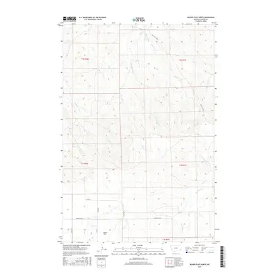
2017 Map of Beaver Flats North
USGS Topo · Published 2017About this map
Beaver Flats and its surrounding drainage systems define this section of Carter County, where a network of gravel and local roads like Markuson Rd and Hutton Rd navigate a landscape etched by seasonal waterways. The map illustrates a complex hydrography, showing how O'Fallon Cr and Buffalo Cr carve through the terrain. A significant historical transportation route, the Miles City Cutoff, traverses the northern and eastern sections of the quadrangle, indicating long-established transit corridors through this part of Montana.
Find a feature on this map
24 named features on this map. Tap any name to fly to it.
Don’t see what you’re looking for? This feature index may not catch every label — zoom into the map to look around manually.
Map Details
Editions of this 2017 Beaver Flats North Map
This is the sole edition of this map. No revisions or reprints were ever made.
Other maps of this area

1953 · Miles City
USGS Topo · 1:250,000

1954 · Ekalaka
USGS Topo · 1:250,000

1956 · Ekalaka
USGS Topo · 1:250,000

1957 · Miles City
USGS Topo · 1:250,000

1958 · Miles City
USGS Topo · 1:250,000

1958 · Ekalaka
USGS Topo · 1:250,000

1965 · Ekalaka
USGS Topo · 1:250,000

1979 · Blacktail Creek SE
USGS Topo · 1:24,000

1979 · Board Corral Creek
USGS Topo · 1:24,000

1979 · Beaver Flats South
USGS Topo · 1:24,000