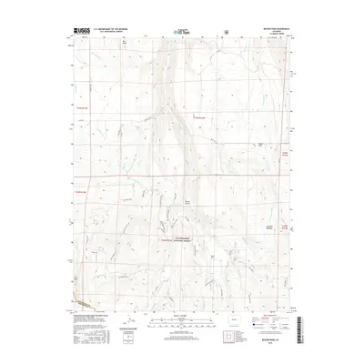
2016 Map of Beaver Park
USGS Topo · Published 2016About this map
The Uncompahgre National Forest dominates this high-altitude landscape along the border of San Miguel and Dolores counties. Significant elevation changes are marked by peaks like Lone Cone and Big Baldy, overlooking a complex network of water management features such as the Old Nelson Ditch and McCulloch Cr Ditch. This 2016 survey illustrates the persistent importance of water rights in the region, with various ditches and flumes like the W Beaver Highline and Old Gurley Ditch Rd cutting across the mountain slopes.
Find a feature on this map
52 named features on this map. Tap any name to fly to it.
Don’t see what you’re looking for? This feature index may not catch every label — zoom into the map to look around manually.
Map Details
Editions of this 2016 Beaver Park Map
This is the sole edition of this map. No revisions or reprints were ever made.
Other maps of this area

1953 · Dolores Peak
USGS Topo · 1:24,000

1953 · Placerville
USGS Topo · 1:24,000

1953 · Little Cone
USGS Topo · 1:24,000

1956 · Cortez
USGS Topo · 1:250,000

1956 · Moab
USGS Topo · 1:250,000

1958 · Cortez
USGS Topo · 1:250,000

1959 · Cortez
USGS Topo · 1:250,000

1959 · Moab
USGS Topo · 1:250,000

1960 · Moab
USGS Topo · 1:250,000

1962 · Moab
USGS Topo · 1:250,000