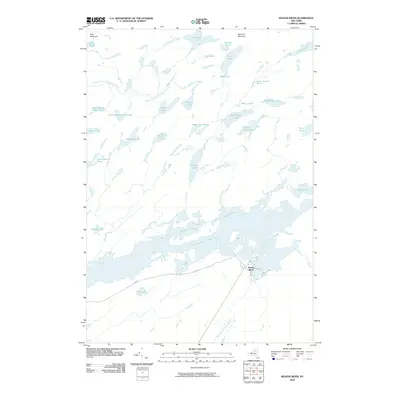
2010 Map of Beaver River
USGS Topo · Published 2010About this map
Beaver River and the expansive Stillwater Reservoir define the lower reach of this landscape, where the West Branch Beaver River flows through the southern terrain. This 2010 survey reveals a wilderness dominated by an intricate network of glacial lakes and high-elevation ponds, including Salmon Lake and Witchhopple Lake in the central corridor. The topography is anchored by Summit Mountain and Sitz Mountain, with the Middle Branch Oswegatchie River draining the northern territory. Local infrastructure is minimal, centered around the Beaver River settlement and the winding Flow Rd, which provides one of the few terrestrial access points to this remote Adirondack interior. The map illustrates a transitional environment where seasonal water levels in Gun Harbor and Stillwater Reservoir significantly influence the local geography, highlighting the area's importance for water management and wilderness recreation.
Find a feature on this map
39 named features on this map. Tap any name to fly to it.
Don’t see what you’re looking for? This feature index may not catch every label — zoom into the map to look around manually.
Map Details
Editions of this 2010 Beaver River Map
This is the sole edition of this map. No revisions or reprints were ever made.
Other maps of this area

1903 · Big Moose
USGS Topo · 1:62,500

1912 · Number Four
USGS Topo · 1:62,500

1915 · Number Four
USGS Topo · 1:62,500

1916 · Oswegatchie
USGS Topo · 1:62,500

1918 · Oswegatchie
USGS Topo · 1:62,500

1919 · Cranberry Lake
USGS Topo · 1:62,500

1921 · Cranberry Lake
USGS Topo · 1:62,500

1931 · Cranberry Lake
USGS Topo · 1:62,500

1948 · Ogdensburg
USGS Topo · 1:250,000

1950 · Utica
USGS Topo · 1:250,000