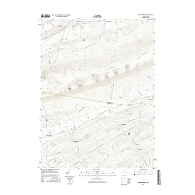
2016 Map of Beaver Springs
USGS Topo · Published 2016About this map
Beaver Springs and Beavertown anchor the northern reaches of this central Pennsylvania landscape, where the ridges of Shade Mountain and Firestone Ridge dictate the flow of travel and settlement. The map traces the winding border of Snyder and Juniata counties, a line that cuts through the agricultural heart of Slim Valley and across the West Branch Mahantango Creek.
Find a feature on this map
115 named features on this map. Tap any name to fly to it.
Don’t see what you’re looking for? This feature index may not catch every label — zoom into the map to look around manually.
Map Details
Editions of this 2016 Beaver Springs Map
This is the sole edition of this map. No revisions or reprints were ever made.
Other maps of this area

1907 · Millerstown
USGS Topo · 1:62,500

1925 · Mifflintown
USGS Topo · 1:48,000

1934 · Mifflintown
USGS Topo · 1:62,500

1937 · Mifflintown
USGS Topo · 1:62,500

1937 · Millheim
USGS Topo · 1:48,000

1938 · Mifflinburg
USGS Topo · 1:48,000

1941 · Millheim
USGS Topo · 1:62,500

1943 · Millerstown
USGS Topo · 1:62,500

1943 · Mifflinburg
USGS Topo · 1:62,500

1950 · Harrisburg
USGS Topo · 1:250,000
Featured Places
- Beaver Springs, Spring Township
- West Perry Township, PA
- Fayette Township, PA
- Gimberlings Mill, Delaware Township
- Spring Township, PA