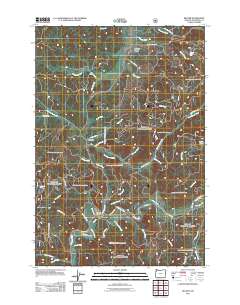
2011 Map of Beaver
USGS Topo · Published 2011About this map
Beaver and the nearby Beaver Post Office anchor the southern portion of this landscape, situated near the confluence of the Nestucca River and several tributary streams like Little Foland Creek. The terrain is defined by a complex network of waterways and timber-access routes such as Yellow Fir Rd and Green Timber Rd. To the north, the settlement of Pleasant Valley sits along the Tillamook River, while Hemlock marks a central point between these northern and southern hubs.
Find a feature on this map
58 named features on this map. Tap any name to fly to it.
Don’t see what you’re looking for? This feature index may not catch every label — zoom into the map to look around manually.
Map Details
Editions of this 2011 Beaver Map
This is the sole edition of this map. No revisions or reprints were ever made.
Other maps of this area

1941 · Nestucca Bay
USGS Topo · 1:62,500

1942 · Ginger Peak
USGS Topo · 1:62,500

1942 · Spirit Mtn
USGS Topo · 1:62,500

1942 · Nestucca Bay
USGS Topo · 1:62,500

1942 · Tillamook
USGS Topo · 1:62,500

1948 · Vancouver
USGS Topo · 1:250,000

1950 · Vancouver
USGS Topo · 1:250,000

1950 · Vancouver
USGS Topo · 1:250,000

1955 · Hebo
USGS Topo · 1:62,500

1955 · Blaine
USGS Topo · 1:62,500