
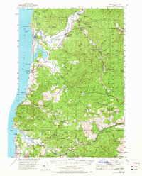
1955 Map of Hebo
USGS Topo · Published 1957About this map
Nestucca Bay and the surrounding coastline define this mid-century view of the Oregon shore, where the Nestucca River meets the Pacific. The landscape is a mosaic of public and private lands, including large swaths of the Siuslaw National Forest and the Cascade Head Experimental Forest. Inland from the beaches of Pacific City and Neskowin, the map reveals the operational infrastructure of the era, such as the Hebo Ranger Sta and the Salmon River Guard Station.
Find a feature on this map
72 named features on this map. Tap any name to fly to it.
Don’t see what you’re looking for? This feature index may not catch every label — zoom into the map to look around manually.
Map Details
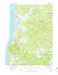
Editions of this 1955 Hebo Map
3 editions found
Other maps of this area

1941 · Nestucca Bay
USGS Topo · 1:62,500

1941 · Cape Foulweather
USGS Topo · 1:62,500

1942 · Ginger Peak
USGS Topo · 1:62,500

1942 · Euchre Mtn
USGS Topo · 1:62,500

1942 · Spirit Mtn
USGS Topo · 1:62,500

1942 · Nestucca Bay
USGS Topo · 1:62,500

1942 · Valsetz
USGS Topo · 1:62,500

1942 · Tillamook
USGS Topo · 1:62,500

1943 · Euchre Mtn
USGS Topo · 1:62,500

1944 · Cape Foulweather
USGS Topo · 1:62,500