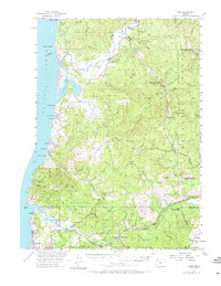
1955 Map of Hebo
USGS Topo · Published 1973About this map
Pacific Ocean currents meet the winding Nestucca River and Salmon River along this mid-century stretch of the Oregon coast. The landscape is defined by the massive reach of the Siuslaw National Forest, containing the Cascade Head Experimental Forest and the Neskowin Natural Area. Small communities such as Pacific City, Cloverdale, and Neskowin dot the coastline and river valleys, while interior settlements like Dolph and Rose Lodge mark the transitions into the timber-heavy highlands of the Neskowin Ridge and the Yamhill County line.
Find a feature on this map
91 named features on this map. Tap any name to fly to it.
Don’t see what you’re looking for? This feature index may not catch every label — zoom into the map to look around manually.
Map Details
Editions of this 1955 Hebo Map
3 editions found

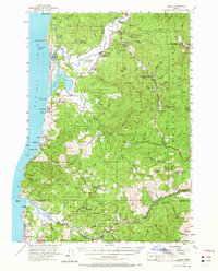
Other maps of this area

1941 · Nestucca Bay
USGS Topo · 1:62,500

1941 · Cape Foulweather
USGS Topo · 1:62,500

1942 · Ginger Peak
USGS Topo · 1:62,500

1942 · Euchre Mtn
USGS Topo · 1:62,500

1942 · Spirit Mtn
USGS Topo · 1:62,500

1942 · Nestucca Bay
USGS Topo · 1:62,500

1942 · Valsetz
USGS Topo · 1:62,500

1942 · Tillamook
USGS Topo · 1:62,500

1943 · Euchre Mtn
USGS Topo · 1:62,500

1944 · Cape Foulweather
USGS Topo · 1:62,500