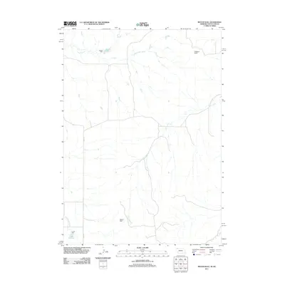
2011 Map of Beaver Wall
USGS Topo · Published 2011About this map
Beaver Wall and the prominent rising of Hubbard Butte dominate this landscape on the border of South Dakota and Nebraska. This 2011 survey records a region defined by its vital water management features, including Colwell Dam and its associated Colwell Reservoir in the north, alongside Lundy Dam and Lundy Reservoir to the south. The drainage network is clearly articulated through the paths of Limekiln Creek, Craven Creek, and Little Beaver Creek. Rural access is primarily represented by Beaver Rd, showing the sparse settlement patterns and the reliance on these small-scale water improvements for land use in the Pine Ridge area during the early 21st century.
Find a feature on this map
10 named features on this map. Tap any name to fly to it.
Don’t see what you’re looking for? This feature index may not catch every label — zoom into the map to look around manually.
Map Details
Editions of this 2011 Beaver Wall Map
This is the sole edition of this map. No revisions or reprints were ever made.
Other maps of this area

1955 · Hot Springs
USGS Topo · 1:250,000

1955 · Alliance
USGS Topo · 1:250,000

1957 · Alliance
USGS Topo · 1:250,000

1958 · Alliance
USGS Topo · 1:250,000

1967 · Pine Ridge SW
USGS Topo · 1:24,000

1967 · Pine Ridge
USGS Topo · 1:24,000

1967 · Slim Butte
USGS Topo · 1:24,000

1969 · Whiteclay
USGS Topo · 1:24,000

1969 · Beaver Wall
USGS Topo · 1:24,000

1969 · Chadron NE
USGS Topo · 1:24,000