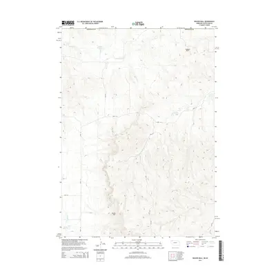
2014 Map of Beaver Wall
USGS Topo · Published 2014About this map
Beaver Wall and the surrounding high country define the geography of this northern Great Plains landscape at the border of Nebraska and South Dakota. In the early 21st century, the terrain is shaped by intermittent drainages including Craven Cr and Limekiln Cr, alongside small water management features such as Colwell Reservoir and Lundy Reservoir. The presence of Hubbard Butte and the namesake escarpment illustrates the erosion-resistant geological formations that punctuate the plains. The map details a network of rural routes like 460th LN and 450th LN that crisscross the undulating topography, providing access to this sparsely settled cattle country where the line of Sheridan Co marks the southern extent of the survey.
Find a feature on this map
12 named features on this map. Tap any name to fly to it.
Don’t see what you’re looking for? This feature index may not catch every label — zoom into the map to look around manually.
Map Details
Editions of this 2014 Beaver Wall Map
This is the sole edition of this map. No revisions or reprints were ever made.
Other maps of this area

1955 · Hot Springs
USGS Topo · 1:250,000

1955 · Alliance
USGS Topo · 1:250,000

1957 · Alliance
USGS Topo · 1:250,000

1958 · Alliance
USGS Topo · 1:250,000

1967 · Pine Ridge SW
USGS Topo · 1:24,000

1967 · Pine Ridge
USGS Topo · 1:24,000

1967 · Slim Butte
USGS Topo · 1:24,000

1969 · Whiteclay
USGS Topo · 1:24,000

1969 · Beaver Wall
USGS Topo · 1:24,000

1969 · Chadron NE
USGS Topo · 1:24,000