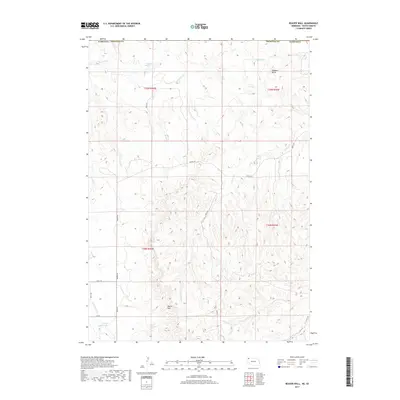
2017 Map of Beaver Wall
USGS Topo · Published 2017About this map
Beaver Wall and Hubbard Butte stand as the defining landforms of this High Plains landscape along the state line of Nebraska and South Dakota. The terrain is marked by the branching drainages of Limekiln Cr, Craven Cr, and Little Beaver Cr, which cut through the escarpments of the Pine Ridge region. While the area is largely characterized by its natural contours, the presence of Colwell Reservoir and Lundy Reservoir reflects the local necessity of water management for ranching and agriculture in this semi-arid environment. A network of rural roads, including Beaver Rd and several numbered lanes such as 460th Ln and 440th Ln, provides the primary infrastructure connecting the isolated homesteads and grazing lands that define the rural economy here in the 21st century.
Find a feature on this map
20 named features on this map. Tap any name to fly to it.
Don’t see what you’re looking for? This feature index may not catch every label — zoom into the map to look around manually.
Map Details
Editions of this 2017 Beaver Wall Map
This is the sole edition of this map. No revisions or reprints were ever made.
Other maps of this area

1955 · Hot Springs
USGS Topo · 1:250,000

1955 · Alliance
USGS Topo · 1:250,000

1957 · Alliance
USGS Topo · 1:250,000

1958 · Alliance
USGS Topo · 1:250,000

1967 · Pine Ridge SW
USGS Topo · 1:24,000

1967 · Pine Ridge
USGS Topo · 1:24,000

1967 · Slim Butte
USGS Topo · 1:24,000

1969 · Whiteclay
USGS Topo · 1:24,000

1969 · Beaver Wall
USGS Topo · 1:24,000

1969 · Chadron NE
USGS Topo · 1:24,000