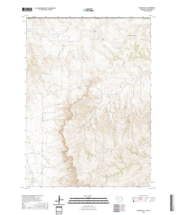
2021 Map of Beaver Wall
USGS Topo · Published 2021About this map
The dramatic escarpment of Beaver Wall and the prominent height of Hubbard Butte dominate this portion of Sheridan County in the 21st century. The landscape is defined by the stark verticality of these landforms, which rise sharply above the drainages of Limekiln Cr and Craven Cr. Human intervention in this arid environment is evident through the presence of Colwell Reservoir in the north and Lundy Reservoir near the southern boundary, indicating a land managed for water storage and livestock. The intricate network of section lines and remote access roads, such as Beaver Rd and 460th Ln, reflects the enduring Public Land Survey System that governs this ranching country. Sparse and vast, the map illustrates the intersection of unique topography and large-scale land management in northwestern Nebraska.
Find a feature on this map
20 named features on this map. Tap any name to fly to it.
Don’t see what you’re looking for? This feature index may not catch every label — zoom into the map to look around manually.
Map Details
Editions of this 2021 Beaver Wall Map
This is the sole edition of this map. No revisions or reprints were ever made.
Other maps of this area

1955 · Hot Springs
USGS Topo · 1:250,000

1955 · Alliance
USGS Topo · 1:250,000

1957 · Alliance
USGS Topo · 1:250,000

1958 · Alliance
USGS Topo · 1:250,000

1967 · Pine Ridge SW
USGS Topo · 1:24,000

1967 · Pine Ridge
USGS Topo · 1:24,000

1967 · Slim Butte
USGS Topo · 1:24,000

1969 · Whiteclay
USGS Topo · 1:24,000

1969 · Beaver Wall
USGS Topo · 1:24,000

1969 · Chadron NE
USGS Topo · 1:24,000