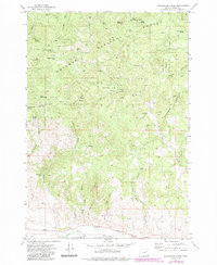
1972 Map of Beaverdam Creek
USGS Topo · Published 1985About this map
Whitman National Forest land dominates this high-elevation Baker County terrain, where numerous springs and gulches define the local hydrology north of the Burnt River Valley. The landscape is a network of cattle-related sites and water sources, including the Hudspeth Cow Camp and Hudspeth Corral. These features, alongside named peaks like Cottonwood Buttes and Beaverdam Buttes, suggest a long-standing pattern of seasonal grazing and ranching operations characteristic of the region.
Find a feature on this map
44 named features on this map. Tap any name to fly to it.
Don’t see what you’re looking for? This feature index may not catch every label — zoom into the map to look around manually.
Map Details
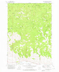
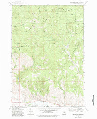
Editions of this 1972 Beaverdam Creek Map
3 editions found
Other maps of this area

1901 · Baker City
USGS Topo · 1:125,000

1901 · Sumpter
USGS Topo · 1:125,000

1908 · Ironside Mountain
USGS Topo · 1:125,000

1955 · Baker
USGS Topo · 1:250,000

1955 · Canyon City
USGS Topo · 1:250,000

1959 · Baker
USGS Topo · 1:250,000

1959 · Canyon City
USGS Topo · 1:250,000

1964 · Ironside
USGS Topo · 1:62,500

1967 · Blue Canyon
USGS Topo · 1:24,000
1967 · Brannan Gulch
USGS Topo · 1:24,000